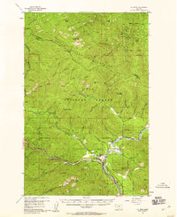
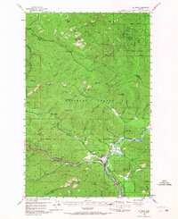
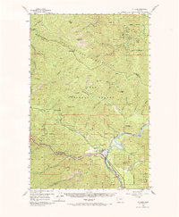
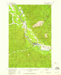
1956 Map of St Regis
USGS Topo · Published 1958About this map
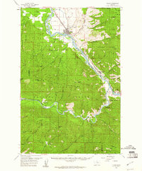
The confluence of the Fork Clark Fork and the St Regis River serves as the primary corridor for transportation and settlement in the mid-1950s. This survey highlights the dual rail presence of the Northern Pacific and the Chicago Milwaukee St Paul and Pacific, which flank the riverbanks alongside historic thoroughfares like the Mullan Road and the St Regis and Eagle Road. These routes suggest the area's importance as a mountain transit point between the Coeur d'Alene Mountains and the Bitterroot range.
Find a feature on this map
59 named features on this map. Tap any name to fly to it.
Don’t see what you’re looking for? This feature index may not catch every label — zoom into the map to look around manually.
Map Details
Editions of this 1956 St Regis Map
3 editions found
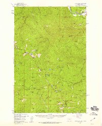
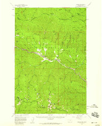
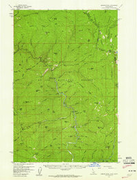
Other maps of this area

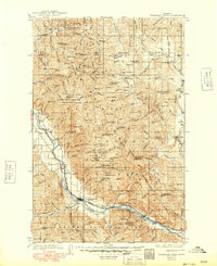
1918 · St Regis
USGS Topo · 1:125,000

1919 · St. Regis
USGS Topo · 1:125,000

1937 · Thompson Falls
USGS Topo · 1:125,000
1937 · Thompson Falls
USGS Topo · 1:62,500

1956 · Wallace
USGS Topo · 1:250,000
1957 · Thompson Falls
USGS Topo · 1:62,500
1957 · Illinois Peak
USGS Topo · 1:62,500
1957 · Haugan
USGS Topo · 1:62,500
1957 · Simmons Peak
USGS Topo · 1:62,500
1959 · Plains
USGS Topo · 1:62,500