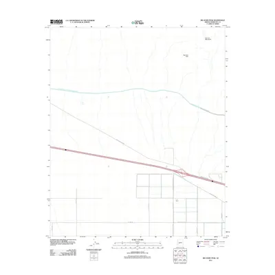
2011 Map of Big Horn Peak
USGS Topo · Published 2011About this map
The Big Horn Mountains define the northern horizon of this Maricopa County landscape, where the high desert meets a developing grid of agricultural and transport infrastructure. Dominating the upper section of the map is the Central Arizona Project Aqueduct, a critical water artery that courses through the arid terrain near New Tank. The area's shift toward organized development is visible in the emergence of the I-10 Ranch and an extensive network of north-south avenues and east-west roads that impose a geometric order on the desert floor.
Find a feature on this map
16 named features on this map. Tap any name to fly to it.
Don’t see what you’re looking for? This feature index may not catch every label — zoom into the map to look around manually.
Map Details
Editions of this 2011 Big Horn Peak Map
This is the sole edition of this map. No revisions or reprints were ever made.
Other maps of this area

1942 · Vicksburg
USGS Topo · 1:250,000

1954 · Phoenix
USGS Topo · 1:250,000

1957 · Phoenix
USGS Topo · 1:250,000

1958 · Phoenix
USGS Topo · 1:250,000

1960 · Phoenix
USGS Topo · 1:250,000

1961 · Lone Mountain
USGS Topo · 1:62,500

1961 · Big Horn Mts
USGS Topo · 1:62,500

1962 · Cortez Peak
USGS Topo · 1:62,500

1962 · Eagletail Mts
USGS Topo · 1:62,500

1969 · Phoenix
USGS Topo · 1:250,000