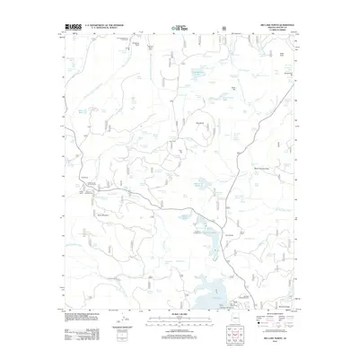
2011 Map of Big Lake North
USGS Topo · Published 2011About this map
The West Fork Little Colorado River and East Fork Little Colorado River converge in this high-altitude landscape of Apache County, serving as the primary drainage for the area's complex watershed. The 2011 survey reveals a landscape dedicated to seasonal recreation and grazing, anchored by the Big Lake Recreation Area and specialized outposts like Montlure Church Camp. Human presence is marked by a network of established ranches and service facilities, including Voigt Ranch, Phelps Ranch, and the Phelps Forest Service Facility.
Find a feature on this map
134 named features on this map. Tap any name to fly to it.
Don’t see what you’re looking for? This feature index may not catch every label — zoom into the map to look around manually.
Map Details
Editions of this 2011 Big Lake North Map
This is the sole edition of this map. No revisions or reprints were ever made.
Other maps of this area

1886 · St Johns
USGS Topo · 1:250,000

1892 · St Johns
USGS Topo · 1:250,000

1922 · Nutrioso
USGS Topo · 1:125,000

1954 · Clifton
USGS Topo · 1:250,000

1954 · Saint Johns
USGS Topo · 1:250,000

1957 · Clifton
USGS Topo · 1:250,000

1957 · Saint Johns
USGS Topo · 1:250,000

1958 · Clifton
USGS Topo · 1:250,000

1958 · Saint Johns
USGS Topo · 1:250,000

1958 · Big Lake
USGS Topo · 1:62,500