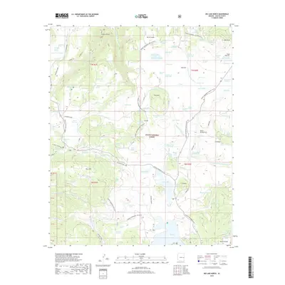
2018 Map of Big Lake North
USGS Topo · Published 2018About this map
The Apache National Forest dominates this high-altitude landscape where the headwaters of the Little Colorado River begin their descent. This 2018 survey details the intricate drainage system where the W Fork Little Colorado River, E Fork Little Colorado River, and S Fork Little Colorado River converge. The terrain is marked by distinctive volcanic features such as Burro Mtn, Wahl Knoll, and Rudd Knoll, interspersed with numerous springs like Boardshack Spring and Marble Spring. A prominent historical Railroad Grade winds through the western and central portions of the map, suggesting the area's past industrial or timber-hauling activity. Local landmarks including Amberon Point and Colter Reservoir provide essential reference points for navigating the forest, while the Thompson Trail and several Sunrise Snowmobile routes illustrate contemporary recreational use of the backcountry.
Find a feature on this map
115 named features on this map. Tap any name to fly to it.
Don’t see what you’re looking for? This feature index may not catch every label — zoom into the map to look around manually.
Map Details
Editions of this 2018 Big Lake North Map
This is the sole edition of this map. No revisions or reprints were ever made.
Other maps of this area

1886 · St Johns
USGS Topo · 1:250,000

1892 · St Johns
USGS Topo · 1:250,000

1922 · Nutrioso
USGS Topo · 1:125,000

1954 · Clifton
USGS Topo · 1:250,000

1954 · Saint Johns
USGS Topo · 1:250,000

1957 · Clifton
USGS Topo · 1:250,000

1957 · Saint Johns
USGS Topo · 1:250,000

1958 · Clifton
USGS Topo · 1:250,000

1958 · Saint Johns
USGS Topo · 1:250,000

1958 · Big Lake
USGS Topo · 1:62,500