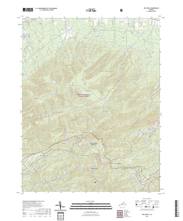
2022 Map of Big Levels
USGS Topo · Published 2022About this map
The crest of the Blue Ridge Parkway snakes along the high ridges of the George Washington National Forest, serving as the boundary between Augusta and Nelson counties. This landscape is defined by its dramatic relief, where peaks like Donald Fauber Mtn and Kelley Mtn drop sharply into narrow drainages such as Saint Marys Gorge. The small settlement of Love sits in the southeast corner near Meadow Mtn, while the interior of the forest remains largely inaccessible to vehicles, navigated instead by an extensive network of footpaths including the St. Mary's Trl and Torry Ridge Trl. Water resources are central to the geography here, with the Coles Run Reservoir and the recreation area at Sherando Lake providing significant focal points. Genealogists may find interest in the White Rock Cem, located near White Rock and the headwaters of the N Fork Tye River.
Find a feature on this map
84 named features on this map. Tap any name to fly to it.
Don’t see what you’re looking for? This feature index may not catch every label — zoom into the map to look around manually.
Map Details
Editions of this 2022 Big Levels Map
This is the sole edition of this map. No revisions or reprints were ever made.
Other maps of this area

1892 · Buckingham
USGS Topo · 1:125,000

1892 · Harrisonburg
USGS Topo · 1:125,000

1894 · Staunton
USGS Topo · 1:125,000

1894 · Lexington
USGS Topo · 1:125,000

1934 · Waynesboro
USGS Topo · 1:48,000

1936 · Vesuvius
USGS Topo · 1:48,000

1939 · Waynesboro
USGS Topo · 1:62,500

1941 · Vesuvius
USGS Topo · 1:62,500

1943 · Lovingston
USGS Topo · 1:62,500

1944 · Staunton
USGS Topo · 1:62,500