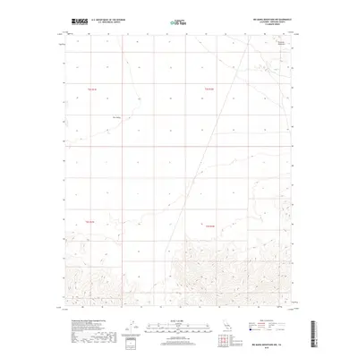
2018 Map of Big Maria Mountains NW
USGS Topo · Published 2018About this map
Rice Valley dominates the central portion of this 2018 survey, appearing as a broad, flat expanse before the terrain rises sharply in the northeast. This part of Riverside County is defined by the stark transition between the valley floor and the Riverside Mountains, where elevation changes are represented by dense contour intervals. The map documents the intricate township and range divisions, such as t2s r22e and t3s r21e, which overlay the desert landscape in a precise grid. The lack of named settlements or major roads emphasizes the isolated nature of this desert environment, focusing instead on the topographic character and the natural boundary between the valley and the surrounding high ground.
Find a feature on this map
6 named features on this map. Tap any name to fly to it.
Don’t see what you’re looking for? This feature index may not catch every label — zoom into the map to look around manually.
Map Details
Editions of this 2018 Big Maria Mountains NW Map
This is the sole edition of this map. No revisions or reprints were ever made.
Other maps of this area

1942 · Blythe
USGS Topo · 1:250,000

1943 · Vidal
USGS Topo · 1:62,500

1945 · Big Maria Mtns
USGS Topo · 1:62,500

1945 · Midland
USGS Topo · 1:62,500

1949 · Vidal
USGS Topo · 1:62,500

1950 · Vidal
USGS Topo · 1:62,500

1951 · Big Maria Mts
USGS Topo · 1:62,500

1952 · Midland
USGS Topo · 1:62,500

1954 · Salton Sea
USGS Topo · 1:250,000

1954 · Needles
USGS Topo · 1:250,000