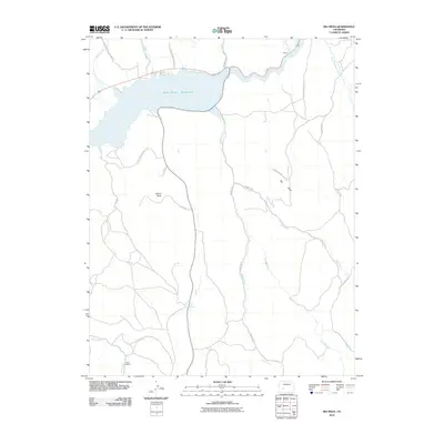
2010 Map of Big Mesa
USGS Topo · Published 2010About this map
Blue Mesa Reservoir dominates the northern landscape of this region, serving as a focal point for the Curecanti Natl Rec Area. The terrain transitions from the reservoir's waters to the high elevations of Big Mesa, marked by distinctive geological features like Blaine Rock. This 2010 survey reflects a high-altitude landscape defined by ranching and public land management, where small-scale human footprints like the Shaw Ranch and the locality of Hierro persist alongside extensive water systems. A network of drainage basins, including Willow Creek, Pole Creek, and Steuben Creek, carve through the mesas. The presence of Big Springs and numerous creeks highlights the importance of water management in this high-country environment, while County Rd 31 and County Rd 32 provide the primary access through the drainage divides and plateau tops.
Find a feature on this map
22 named features on this map. Tap any name to fly to it.
Don’t see what you’re looking for? This feature index may not catch every label — zoom into the map to look around manually.
Map Details
Editions of this 2010 Big Mesa Map
This is the sole edition of this map. No revisions or reprints were ever made.
Other maps of this area

1908 · Uncompahgre
USGS Topo · 1:125,000

1911 · Uncompahgre
USGS Topo · 1:125,000

1954 · Iris NW
USGS Topo · 1:24,000

1954 · Iola
USGS Topo · 1:24,000

1954 · Mc Intosh Mountain
USGS Topo · 1:24,000

1954 · West Elk Peak SW
USGS Topo · 1:24,000

1954 · Gunnison
USGS Topo · 1:24,000

1954 · Cebolla
USGS Topo · 1:24,000

1954 · Gateview
USGS Topo · 1:24,000

1956 · Montrose
USGS Topo · 1:250,000