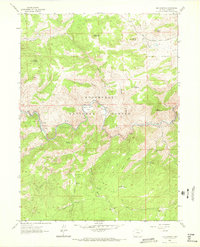
1962 Map of Big Narrows
USGS Topo · Published 1972About this map
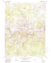
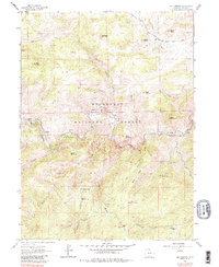
The Cache La Poudre River carves a winding path through the heart of the Roosevelt National Forest, defining a landscape of narrow canyons and high mountain peaks. Along its banks, the map reveals early settlement patterns and recreational development at sites like Stove Prairie Landing and the Narrows Picnic Area. Local history is deeply embedded in the family-named landmarks that dot the high country, including the Bosworth Homestead, Clark Homestead, and Lewis Ranch.
Find a feature on this map
81 named features on this map. Tap any name to fly to it.
Don’t see what you’re looking for? This feature index may not catch every label — zoom into the map to look around manually.
Map Details
Editions of this 1962 Big Narrows Map
6 editions found
Other maps of this area

1907 · Livermore
USGS Topo · 1:125,000

1909 · Livermore
USGS Topo · 1:125,000

1916 · Home
USGS Topo · 1:125,000

1920 · Home
USGS Topo · 1:125,000

1954 · Greeley
USGS Topo · 1:250,000

1957 · Greeley
USGS Topo · 1:250,000

1958 · Greeley
USGS Topo · 1:250,000

1960 · Haystack Gulch
USGS Topo · 1:24,000

1960 · Livermore Mountain
USGS Topo · 1:24,000

1961 · Greeley
USGS Topo · 1:250,000