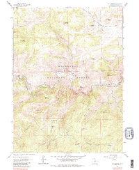
1962 Map of Big Narrows
USGS Topo · Published 1987About this map
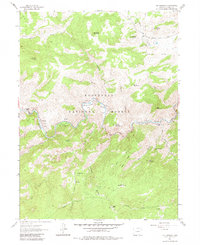
The Cache La Poudre River carves a dramatic path through the heart of the Roosevelt National Forest, defining the settlement patterns of this Larimer County landscape. Deep within the canyon, small riverside pockets like Eggers and Kelley Flats provided rare level ground for habitation along the water's edge. The 1962 topography reveals a mix of early 20th-century land use, from the legacy of ranching and mining at the Hold-in-the-wall Mine to the emergence of recreational sites such as the Fort Collins Mountain Recreation Area.
Find a feature on this map
37 named features on this map. Tap any name to fly to it.
Don’t see what you’re looking for? This feature index may not catch every label — zoom into the map to look around manually.
Map Details
Editions of this 1962 Big Narrows Map
6 editions found
Other maps of this area

1907 · Livermore
USGS Topo · 1:125,000

1909 · Livermore
USGS Topo · 1:125,000

1916 · Home
USGS Topo · 1:125,000

1920 · Home
USGS Topo · 1:125,000

1954 · Greeley
USGS Topo · 1:250,000

1957 · Greeley
USGS Topo · 1:250,000

1958 · Greeley
USGS Topo · 1:250,000

1960 · Haystack Gulch
USGS Topo · 1:24,000

1960 · Livermore Mountain
USGS Topo · 1:24,000

1961 · Greeley
USGS Topo · 1:250,000