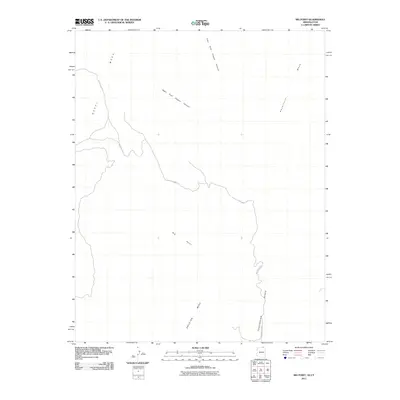
2011 Map of Big Point
USGS Topo · Published 2011About this map
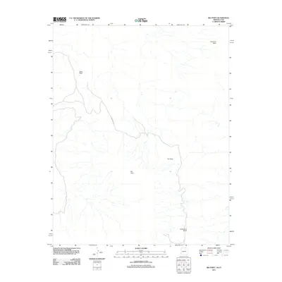
Nokal Mesa and Hoskinnini Mesa dominate the high-elevation landscape of this 2011 survey in Navajo County. The area is defined by massive, flat-topped formations and deep drainage systems, most notably the West Fork Copper Canyon and East Fork Copper Canyon which carve through the northern reaches. Central to this geography is Big Point, a prominent overlook that stands between the larger masses of Skeleton Mesa and the expansive Todicheenie Bench. Transport through this remote section of the Navajo Nation is facilitated primarily by Indian Rte 6450, a road that winds across the varying elevations and connects these isolated natural landmarks. This map provides a detailed record of the natural topography and primary transit routes in a region where geological features serve as the primary navigational markers.
Find a feature on this map
8 named features on this map. Tap any name to fly to it.
Don’t see what you’re looking for? This feature index may not catch every label — zoom into the map to look around manually.
Map Details
Editions of this 2011 Big Point Map
2 editions found
Other maps of this area

1883 · Marsh Pass
USGS Topo · 1:250,000

1886 · Henry Mountains
USGS Topo · 1:250,000

1892 · Marsh Pass
USGS Topo · 1:250,000

1892 · Henry Mountains
USGS Topo · 1:250,000

1952 · Clay Hills 3 SE
USGS Topo · 1:24,000

1952 · Shato Spring 1 NE
USGS Topo · 1:24,000

1952 · Agathla Peak 2 SW
USGS Topo · 1:24,000

1952 · Agathla Peak 2 NW
USGS Topo · 1:24,000

1952 · Boot Mesa
USGS Topo · 1:62,500

1952 · Clay Hills 3 SW
USGS Topo · 1:24,000