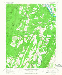
1958 Map of Big Pool
USGS Topo · Published 1968About this map
Potomac River valley life in the late 1950s is defined by its deep-seated transport history, where the Chesapeake and Ohio Canal and Western Maryland railroad parallel the winding river. The northern bank in Maryland is anchored by the historic Fort Frederick within its namesake Fort Frederick State Park, situated beside the large water body of Big Pool. Across the water in West Virginia, the landscape of Berkeley and Morgan counties transitions into the prominent ridges of Sleepy Creek Mountain and North Mountain. Small rural communities like Tomahawk and Johnsontown are scattered among these ridges, connected by a network of local landmarks including Pleasant View Sch, Hedges Chapel, and Snyders Ch. The terrain is deeply furrowed by waterways such as Back Creek and Cherry Run, which carved the valleys used by the B & O railroad to traverse the Appalachian foothills.
Find a feature on this map
42 named features on this map. Tap any name to fly to it.
Don’t see what you’re looking for? This feature index may not catch every label — zoom into the map to look around manually.
Map Details
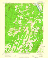
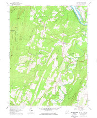
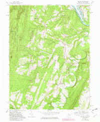
Editions of this 1958 Big Pool Map
4 editions found
Other maps of this area

1884 · Harpers Ferry
USGS Topo · 1:125,000

1891 · Harpers Ferry
USGS Topo · 1:125,000

1893 · Harpers Ferry
USGS Topo · 1:125,000

1894 · Winchester
USGS Topo · 1:125,000

1899 · Hancock
USGS Topo · 1:62,500

1901 · Hancock
USGS Topo · 1:62,500

1912 · Williamsport
USGS Topo · 1:62,500

1914 · Martinsburg
USGS Topo · 1:48,000

1914 · Gerrardstown
USGS Topo · 1:48,000

1916 · Gerrardstown
USGS Topo · 1:62,500