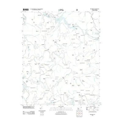
2011 Map of Big Ridge
USGS Topo · Published 2011About this map
Indian Place and the settlement of Big Ridge anchor this mountain landscape, defined by a complex network of high-elevation reservoirs and peaks. The drainage of the West Fork Tuckasegee River is managed through several significant impoundments, including Bear Creek Lake, Wolf Creek Lake, and Tuckasegee Lake. These waters are controlled by structures like the Bear Creek Dam, which transformed the local topography into a series of interconnected water bodies such as Cedar Cliff Lake and Tanasee Creek Lake.
Find a feature on this map
191 named features on this map. Tap any name to fly to it.
Don’t see what you’re looking for? This feature index may not catch every label — zoom into the map to look around manually.
Map Details
Editions of this 2011 Big Ridge Map
This is the sole edition of this map. No revisions or reprints were ever made.
Other maps of this area

1891 · Cowee
USGS Topo · 1:125,000

1897 · Cowee
USGS Topo · 1:125,000

1905 · Pisgah
USGS Topo · 1:125,000

1906 · Pisgah
USGS Topo · 1:125,000

1907 · Cowee
USGS Topo · 1:125,000

1935 · Sam Knob
USGS Topo · 1:24,000

1935 · Cashiers
USGS Topo · 1:24,000

1935 · Tuckaseigee
USGS Topo · 1:24,000

1935 · Lake Toxaway
USGS Topo · 1:24,000

1935 · Reid
USGS Topo · 1:24,000