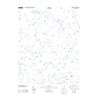
2013 Map of Big Ridge
USGS Topo · Published 2013About this map
Indian Place and the Merrie Woode Camp sit within a landscape defined by the high elevations of the Blue Ridge, where modern infrastructure meets the complex hydrology of the Tuckasegee River basin. The area is characterized by significant water management features, including the reservoirs of Bear Creek Lake, Cedar Cliff Lake, and Tanasee Creek Lake, which serve as major landmarks among the ridges. Numerous cascades like Maidenhair Falls, Twin Falls, and the aptly named Schoolhouse Falls are scattered throughout the drainages of Panthertown Cr and Flat Cr. Genealogists and local historians can trace the naming of the high peaks and gaps, such as Horse Stamp Gap, Shouting Ridge, and Onion Cliff, which reflect the localized nomenclature of Jackson County's upland settlements and timber-rich history.
Find a feature on this map
194 named features on this map. Tap any name to fly to it.
Don’t see what you’re looking for? This feature index may not catch every label — zoom into the map to look around manually.
Map Details
Editions of this 2013 Big Ridge Map
This is the sole edition of this map. No revisions or reprints were ever made.
Other maps of this area

1891 · Cowee
USGS Topo · 1:125,000

1897 · Cowee
USGS Topo · 1:125,000

1905 · Pisgah
USGS Topo · 1:125,000

1906 · Pisgah
USGS Topo · 1:125,000

1907 · Cowee
USGS Topo · 1:125,000

1935 · Sam Knob
USGS Topo · 1:24,000

1935 · Cashiers
USGS Topo · 1:24,000

1935 · Tuckaseigee
USGS Topo · 1:24,000

1935 · Lake Toxaway
USGS Topo · 1:24,000

1935 · Reid
USGS Topo · 1:24,000