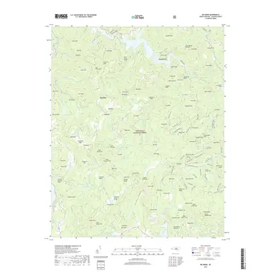
2019 Map of Big Ridge
USGS Topo · Published 2019About this map
Island Ford and the surrounding high country of Jackson County are defined by the steep drainage basins of the West Fork Tuckasegee River. Within the Nantahala National Forest, the landscape transitions from the shores of Bear Creek Lake and Lupton Lake to prominent peaks like High Top and Lizzie Mtn. The map reveals a network of gaps and ridges, such as Horse Stamp Gap and Carding Machine Ridge, which illustrate the historical paths used to navigate this portion of the Blue Ridge. The Tennessee Valley Divide snakes across the southern portion of the sheet, marking a significant hydrological boundary. Local landmarks like Maidenhair Falls and the View Rock overlook suggest the area's long-standing draw for those seeking the high elevations of the Big Ridge area.
Find a feature on this map
171 named features on this map. Tap any name to fly to it.
Don’t see what you’re looking for? This feature index may not catch every label — zoom into the map to look around manually.
Map Details
Editions of this 2019 Big Ridge Map
This is the sole edition of this map. No revisions or reprints were ever made.
Other maps of this area

1891 · Cowee
USGS Topo · 1:125,000

1897 · Cowee
USGS Topo · 1:125,000

1905 · Pisgah
USGS Topo · 1:125,000

1906 · Pisgah
USGS Topo · 1:125,000

1907 · Cowee
USGS Topo · 1:125,000

1935 · Sam Knob
USGS Topo · 1:24,000

1935 · Cashiers
USGS Topo · 1:24,000

1935 · Tuckaseigee
USGS Topo · 1:24,000

1935 · Lake Toxaway
USGS Topo · 1:24,000

1935 · Reid
USGS Topo · 1:24,000