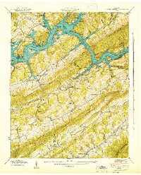
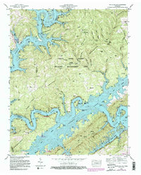
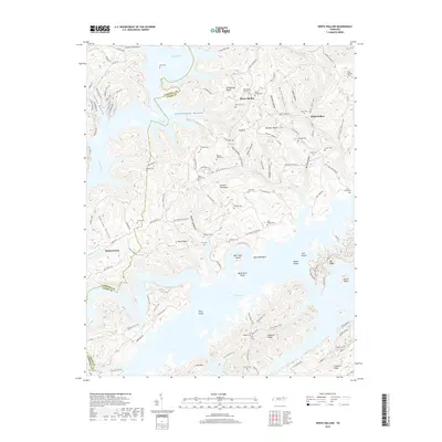
1941 Map of Big Ridge Park
USGS Topo · Published 1941About this map
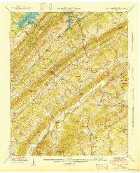
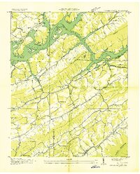
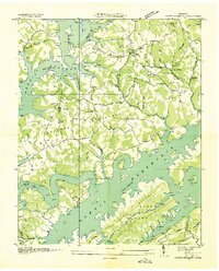
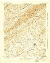
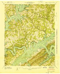
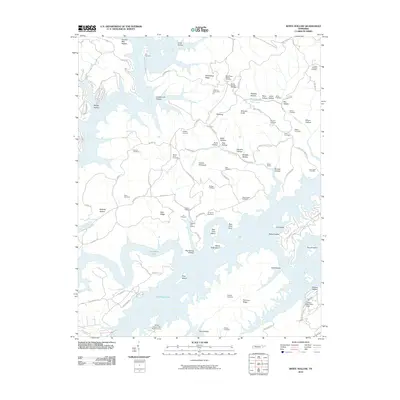
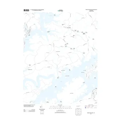
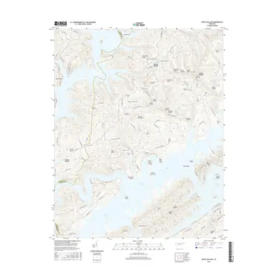
Norris Reservoir dominates the northwestern corner of this 1941 Tennessee Valley Authority study, reflecting the dramatic landscape changes brought by early 20th-century dam construction. The map documents the relocation of local history through the New Loyston Cem, situated near Big Ridge Lake within the Big Ridge Park area. This terrain is defined by a series of parallel ridges including Chestnut Ridge and Hinds Ridge, which separate fertile valleys where small communities like Ridenour and Paulette flourished alongside rural institutions such as Macedonia Ch and Arevalo Sch. Longstanding local industry is evidenced by Stokes Mill on Hinds Creek and Hansard Mill further south. The presence of the Norris Freeway cutting through the ridges signals the arrival of modern infrastructure in a region previously defined by gap crossings like McHaffie Gap.
Find a feature on this map
80 named features on this map. Tap any name to fly to it.
Don’t see what you’re looking for? This feature index may not catch every label — zoom into the map to look around manually.
Map Details
Editions of this 1941 Big Ridge Park Map
This is the sole edition of this map. No revisions or reprints were ever made.
Historical Maps of Beulah Through Time
33 maps found
1935 Graveston
Union County, TN
1936 Big Ridge Park
Union County, TN
1936 Mc Lean Rock
Union County, TN
1936 Powder Springs
Union County, TN
1936 White Hollow
Union County, TN
1941 Big Ridge Park
Union County, TN
1941 Graveston
Union County, TN
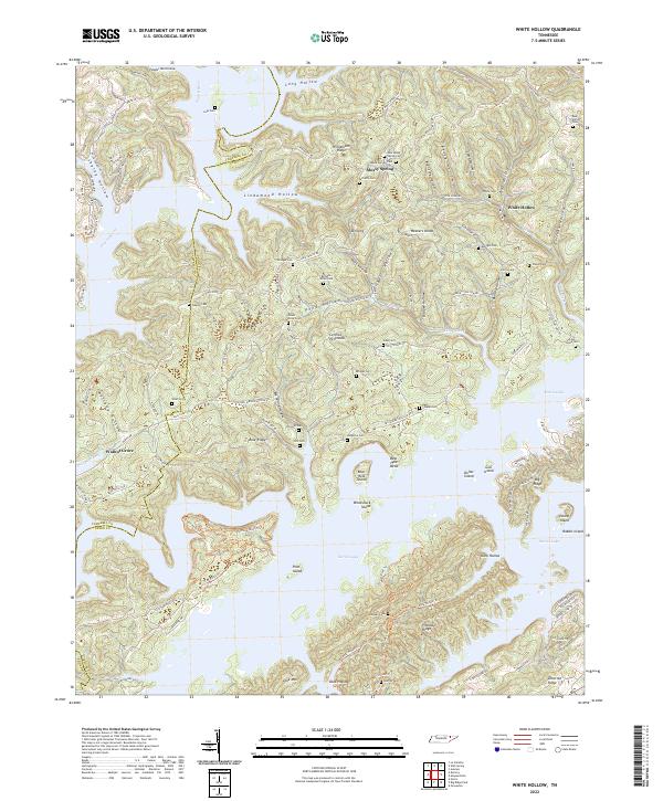
1941 White Hollow
Union County, TN
1942 Powder Springs
Union County, TN
1952 Big Ridge Park
Union County, TN
1952 Graveston
Union County, TN
1952 Powder Springs
Union County, TN
1952 White Hollow
Union County, TN
2010 Big Ridge Park
Union County, TN
2010 Graveston
Union County, TN
2010 Powder Springs
Union County, TN
2010 White Hollow
Union County, TN
2013 Big Ridge Park
Union County, TN
2013 Graveston
Union County, TN
2013 Powder Springs
Union County, TN
2013 White Hollow
Union County, TN
2016 Big Ridge Park
Union County, TN
2016 Graveston
Union County, TN
2016 Powder Springs
Union County, TN
2016 White Hollow
Union County, TN
2019 Big Ridge Park
Union County, TN
2019 Graveston
Union County, TN
2019 Powder Springs
Union County, TN
2019 White Hollow
Union County, TN
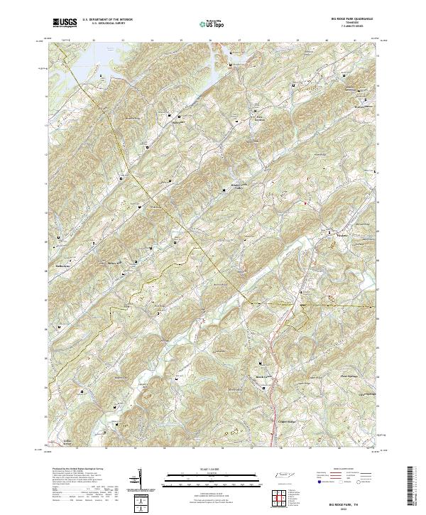
2022 Big Ridge Park
Union County, TN
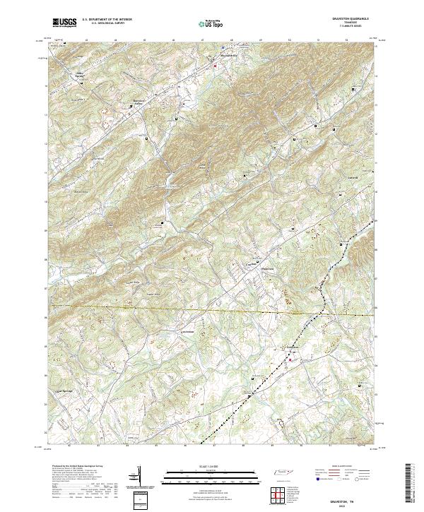
2022 Graveston
Union County, TN
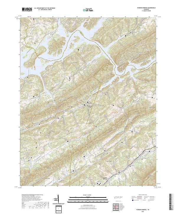
2022 Powder Springs
Union County, TN
2022 White Hollow
Union County, TN