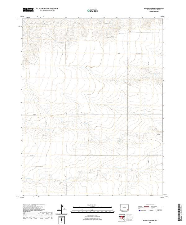
2022 Map of Big Rock Grange
USGS Topo · Published 2022About this map
The arid drainage systems of Sand Cr and its tributaries define this corner of Baca County, where the high plains terrain is marked by intermittent watercourses and a strict grid of section roads. This 2022 USGS survey documents the land-use patterns of the southeastern Colorado landscape, characterized by the Public Land Survey System divisions between T28S and T29S. The drainage of N Horse Cr and S Horse Cr winds through the southern half of the quadrangle, illustrating the natural erosion patterns that break the otherwise uniform prairie. While the map is sparse of named settlements, it provides an essential spatial record of rural infrastructure, including arterial routes like Co Rd RR and Co Rd 23. This contemporary study serves as a baseline for understanding water rights and land management in a region where geography is fundamentally tied to the presence of these seasonal creek beds.
Find a feature on this map
20 named features on this map. Tap any name to fly to it.
Don’t see what you’re looking for? This feature index may not catch every label — zoom into the map to look around manually.
Map Details
Editions of this 2022 Big Rock Grange Map
This is the sole edition of this map. No revisions or reprints were ever made.
Other maps of this area

1891 · Springfield
USGS Topo · 1:125,000

1892 · Two Butte
USGS Topo · 1:125,000

1893 · Two Butte
USGS Topo · 1:125,000

1893 · Springfield
USGS Topo · 1:125,000

1955 · La Junta
USGS Topo · 1:250,000

1958 · La Junta
USGS Topo · 1:250,000

1968 · La Junta
USGS Topo · 1:250,000
1971 · Big Rock Grange
USGS Topo · 1:24,000
1971 · Horse Creek Springs
USGS Topo · 1:24,000
1971 · Mc Endree Ranch
USGS Topo · 1:24,000