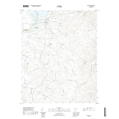
2019 Map of Big Sandy
USGS Topo · Published 2019About this map
Kentucky Lake and the Big Sandy River define the northern and western margins of this West Tennessee landscape, where the town of Big Sandy serves as the primary hub. The terrain is deeply etched by a dense network of watercourses including Ramble Cr, Sulphur Cr, and Rushing Cr, which flow through the ridges of Benton and Henry counties. Notable in the river valley is the Big Sandy River Dewatering Area, reflecting mid-century water management efforts along the Tennessee River system.
Find a feature on this map
110 named features on this map. Tap any name to fly to it.
Don’t see what you’re looking for? This feature index may not catch every label — zoom into the map to look around manually.
Map Details
Editions of this 2019 Big Sandy Map
This is the sole edition of this map. No revisions or reprints were ever made.
Other maps of this area

1936 · Poplar Creek
USGS Topo · 1:24,000

1936 · McKinnon
USGS Topo · 1:24,000

1936 · Camden
USGS Topo · 1:24,000

1936 · Big Sandy
USGS Topo · 1:24,000

1936 · Johnsonville
USGS Topo · 1:24,000

1936 · Bruceton
USGS Topo · 1:24,000

1936 · Harmon Creek
USGS Topo · 1:24,000

1936 · Manleyville
USGS Topo · 1:24,000

1936 · Springville
USGS Topo · 1:24,000

1938 · Springville
USGS Topo · 1:24,000