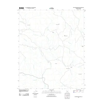
2011 Map of Big Shipp Mountain
USGS Topo · Published 2011About this map
Big Shipp Mountain and Little Shipp Mountain dominate this corner of Yavapai County, where the desert drainage system defines the local geography. The map illustrates a network of seasonal washes and creek beds, most notably Big Shipp Wash, Little Shipp Wash, and Little Sycamore Wash, which converge as they move toward the Santa Maria River North Fork in the southern portion of the quadrangle. Human activity is centered around the S H Ranch, accessed by the S And H Ranch Rd. This isolated ranching outpost sits near the base of S H Mesa, highlighting the long-standing pastoral use of this arid landscape. Geologic landmarks such as Chimney Rock and the deeply carved area of Muchos Cañones provide clear orientation points for researchers studying the natural boundaries and land use of the region.
Find a feature on this map
17 named features on this map. Tap any name to fly to it.
Don’t see what you’re looking for? This feature index may not catch every label — zoom into the map to look around manually.
Map Details
Editions of this 2011 Big Shipp Mountain Map
This is the sole edition of this map. No revisions or reprints were ever made.
Other maps of this area
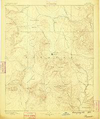
1887 · Prescott
USGS Topo · 1:250,000
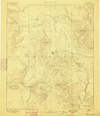
1892 · Prescott
USGS Topo · 1:250,000
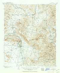
1903 · Congress
USGS Topo · 1:125,000
1904 · Congress
USGS Topo · 1:125,000
1923 · Signal
USGS Topo · 1:250,000
1942 · Signal
USGS Topo · 1:250,000
1945 · Bagdad
USGS Topo · 1:62,500
1947 · Sheridan Mountain
USGS Topo · 1:62,500
1948 · Sheridan Mountain
USGS Topo · 1:63,360
1948 · Bagdad
USGS Topo · 1:62,500