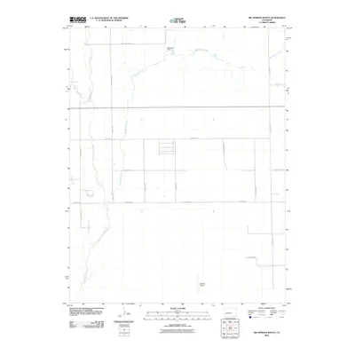
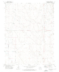
2010 Map of Big Springs Ranch
USGS Topo · Published 2010About this map
Big Springs Ranch and the surrounding high plains of eastern El Paso County are defined by wide, seasonal watercourses and a sparse network of county roads. The landscape is dominated by the sprawling drainage of Black Squirrel Creek to the west and the meandering path of Big Springs Creek to the northeast. Settlement patterns here reflect the transition from large-scale ranching to more modern residential developments, as seen in the grid of local roads like Handle Rd, Sanborn Rd, and Schubert Rd. The presence of Bullseye Airport south of Tolman Rd suggests the importance of light aviation for land management or local transport in this open country. The map traces the intersection of historic land use and contemporary infrastructure along the Calhan Hwy corridor.
Find a feature on this map
22 named features on this map. Tap any name to fly to it.
Don’t see what you’re looking for? This feature index may not catch every label — zoom into the map to look around manually.
Map Details
Editions of this 2010 Big Springs Ranch Map
This is the sole edition of this map. No revisions or reprints were ever made.
Other maps of this area

1893 · Big Springs
USGS Topo · 1:125,000
1954 · Ellicott
USGS Topo · 1:24,000
1954 · Haegler Ranch
USGS Topo · 1:24,000
1954 · Hanover NW
USGS Topo · 1:24,000

1954 · Pueblo
USGS Topo · 1:250,000

1957 · Pueblo
USGS Topo · 1:250,000

1958 · Pueblo
USGS Topo · 1:250,000

1962 · Pueblo
USGS Topo · 1:250,000

1966 · Pueblo
USGS Topo · 1:250,000
1973 · Hanover NE
USGS Topo · 1:24,000