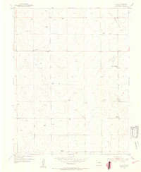
1954 Map of Ellicott
USGS Topo · Published 1955About this map
Ellicott and its surrounding plains are defined by a network of isolated ranches and essential community hubs in this mid-century survey. The landscape is dominated by the seasonal course of Black Squirrel Creek and a scatter of windmills that highlight the area's reliance on groundwater for livestock. Social and infrastructure centers are anchored by the Ellicott Consolidated School and the Drennan School, while the El Paso Telephone Exchange stands as a vital link for the rural population. The presence of named properties like Alger Ranch and Book Ranch, alongside family-named landmarks such as Ward and Hidden, provides a clear view of the land ownership patterns that shaped this part of El Paso County during the early 1950s. The map illustrates a transition toward more consolidated rural education and modernized communication in a traditionally pastoral environment.
Find a feature on this map
9 named features on this map. Tap any name to fly to it.
Don’t see what you’re looking for? This feature index may not catch every label — zoom into the map to look around manually.
Map Details
Editions of this 1954 Ellicott Map
3 editions found
Other maps of this area

1893 · Big Springs
USGS Topo · 1:125,000

1893 · Colorado Springs
USGS Topo · 1:125,000

1909 · Colorado Springs
USGS Topo · 1:125,000

1942 · Colorado Springs
USGS Topo · 1:125,000

1948 · Falcon
USGS Topo · 1:24,000

1948 · Falcon
USGS Topo · 1:62,500

1949 · Corral Bluffs
USGS Topo · 1:24,000
1950 · Fountain NE
USGS Topo · 1:24,000
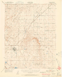
1951 · Falcon
USGS Topo · 1:62,500
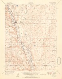
1951 · Fountain
USGS Topo · 1:62,500