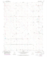
1954 Map of Ellicott
USGS Topo · Published 1978About this map
High plains ranching and rural infrastructure define this landscape east of Colorado Springs in the mid-1950s. The small settlement of Ellicott serves as a local hub, anchored by the Ellicott Consolidated School and the El Paso Telephone Exchange, indicating the area's role as a vital communications and educational center for the surrounding prairie. The terrain is defined by the ephemeral drainage of Black Squirrel Creek and a network of windmills, essential for supporting livestock at locations like Alger Ranch and Book Ranch. Small topographic elevations such as Hidden and Ward rise above the flats, while the southern portion of the sheet shows the Drennan School, another marker of the era's decentralized rural school system. This survey preserves a transition period before modern expansion, capturing a time when local life revolved around these isolated ranching outposts and a modest network of unpaved roads.
Find a feature on this map
11 named features on this map. Tap any name to fly to it.
Don’t see what you’re looking for? This feature index may not catch every label — zoom into the map to look around manually.
Map Details
Editions of this 1954 Ellicott Map
3 editions found
Other maps of this area

1893 · Big Springs
USGS Topo · 1:125,000

1893 · Colorado Springs
USGS Topo · 1:125,000

1909 · Colorado Springs
USGS Topo · 1:125,000

1942 · Colorado Springs
USGS Topo · 1:125,000

1948 · Falcon
USGS Topo · 1:24,000

1948 · Falcon
USGS Topo · 1:62,500

1949 · Corral Bluffs
USGS Topo · 1:24,000
1950 · Fountain NE
USGS Topo · 1:24,000
1951 · Falcon
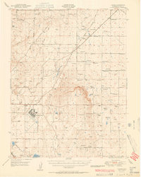
USGS Topo · 1:62,500
1951 · Fountain
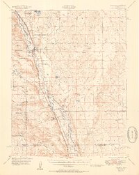
USGS Topo · 1:62,500