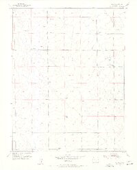
1954 Map of Ellicott
USGS Topo · Published 1955About this map
Ellicott sits at the center of this eastern Colorado landscape during the mid-1950s, serving as a vital rural hub defined by its educational and communication infrastructure. The presence of the El Paso Telephone Exchange and the Ellicott Consolidated School underscores the community's role as a regional anchor for the surrounding agricultural district. The terrain is characterized by the drainage of Black Squirrel Creek, where a Check Dam reflects early water management efforts in this arid environment.
Find a feature on this map
12 named features on this map. Tap any name to fly to it.
Don’t see what you’re looking for? This feature index may not catch every label — zoom into the map to look around manually.
Map Details
Editions of this 1954 Ellicott Map
3 editions found
Other maps of this area

1893 · Big Springs
USGS Topo · 1:125,000

1893 · Colorado Springs
USGS Topo · 1:125,000

1909 · Colorado Springs
USGS Topo · 1:125,000

1942 · Colorado Springs
USGS Topo · 1:125,000

1948 · Falcon
USGS Topo · 1:24,000

1948 · Falcon
USGS Topo · 1:62,500

1949 · Corral Bluffs
USGS Topo · 1:24,000
1950 · Fountain NE
USGS Topo · 1:24,000
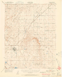
1951 · Falcon
USGS Topo · 1:62,500
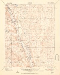
1951 · Fountain
USGS Topo · 1:62,500