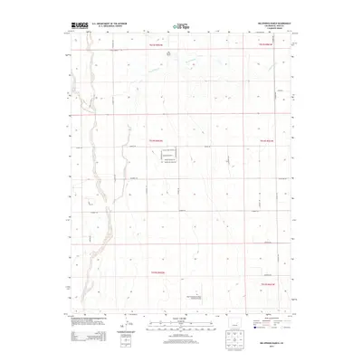
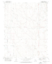
2013 Map of Big Springs Ranch
USGS Topo · Published 2013About this map
Big Springs Ranch anchors this high plains landscape of eastern El Paso County, where the drainages of Black Squirrel Cr and Big Springs Cr carve through the arid terrain. The map documents a sparsely populated ranching and residential region at the dawn of the 21st century, notable for the specialized USAF Academy Bullseye Auxiliary Airstrip located in the southern portion of the quadrangle.
Find a feature on this map
34 named features on this map. Tap any name to fly to it.
Don’t see what you’re looking for? This feature index may not catch every label — zoom into the map to look around manually.
Map Details
Editions of this 2013 Big Springs Ranch Map
This is the sole edition of this map. No revisions or reprints were ever made.
Other maps of this area

1893 · Big Springs
USGS Topo · 1:125,000
1954 · Ellicott
USGS Topo · 1:24,000
1954 · Haegler Ranch
USGS Topo · 1:24,000
1954 · Hanover NW
USGS Topo · 1:24,000

1954 · Pueblo
USGS Topo · 1:250,000

1957 · Pueblo
USGS Topo · 1:250,000

1958 · Pueblo
USGS Topo · 1:250,000

1962 · Pueblo
USGS Topo · 1:250,000

1966 · Pueblo
USGS Topo · 1:250,000
1973 · Hanover NE
USGS Topo · 1:24,000