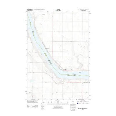
2013 Map of Big Stone Lake West
USGS Topo · Published 2013About this map
Big Stone Lake defines the border between Minnesota and South Dakota, where the Minnesota River flows through a landscape of glacial points and lakefront settlements. Small communities like Yankeetown, Bonanza Grove, and Foster line the northeastern shore, reflecting the region's long-standing reliance on the waterway for recreation and residence. The presence of Holden Cem and Lakeside Cem provides grounded points of reference for genealogists tracing local families in this rural borderland. Much of the shoreline is preserved within Big Stone Lake State Park, where landmarks such as Mallard Pt and Salmonson Point jut into the water. This 2013 survey captures the area's modern road network, including MN-7 and SD-15, which connect the scattered agricultural tracts and lakeside marshes like Lake Wilcox.
Find a feature on this map
30 named features on this map. Tap any name to fly to it.
Don’t see what you’re looking for? This feature index may not catch every label — zoom into the map to look around manually.
Map Details
Editions of this 2013 Big Stone Lake West Map
This is the sole edition of this map. No revisions or reprints were ever made.
Other maps of this area

1916 · Peever
USGS Topo · 1:62,500

1916 · Beardsley
USGS Topo · 1:62,500

1918 · Peever
USGS Topo · 1:62,500

1918 · Beardsley
USGS Topo · 1:62,500

1953 · Milbank
USGS Topo · 1:250,000

1954 · Big Stone Lake
USGS Topo · 1:62,500

1958 · Milbank
USGS Topo · 1:250,000

1971 · Big Stone Lake East
USGS Topo · 1:24,000

1971 · Corona
USGS Topo · 1:24,000

1971 · Browns Valley
USGS Topo · 1:24,000