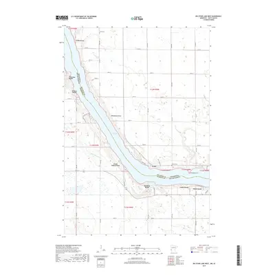
2019 Map of Big Stone Lake West
USGS Topo · Published 2019About this map
Big Stone Lake forms the central spine of this landscape, carving a deep boundary between Minnesota and South Dakota. The shoreline is dotted with small lakeside settlements and recreational clusters such as Hiawatha Beach, Madsen Beach, and Bonanza Grove, reflecting a long history of water-oriented residency and seasonal retreats. On the South Dakota side, the terrain rises toward Hartford Beach, where Hartford Beach Cr drains into the lake near the quiet settlement of Hartford Beach.
Find a feature on this map
42 named features on this map. Tap any name to fly to it.
Don’t see what you’re looking for? This feature index may not catch every label — zoom into the map to look around manually.
Map Details
Editions of this 2019 Big Stone Lake West Map
This is the sole edition of this map. No revisions or reprints were ever made.
Other maps of this area

1916 · Peever
USGS Topo · 1:62,500

1916 · Beardsley
USGS Topo · 1:62,500

1918 · Peever
USGS Topo · 1:62,500

1918 · Beardsley
USGS Topo · 1:62,500

1953 · Milbank
USGS Topo · 1:250,000

1954 · Big Stone Lake
USGS Topo · 1:62,500

1958 · Milbank
USGS Topo · 1:250,000

1971 · Big Stone Lake East
USGS Topo · 1:24,000

1971 · Corona
USGS Topo · 1:24,000

1971 · Browns Valley
USGS Topo · 1:24,000