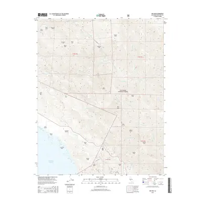
2015 Map of Big Sur
USGS Topo · Published 2015About this map
Big Sur serves as the focal point of this coastal survey, where the Santa Lucia Range meets the Pacific Ocean. The landscape is defined by steep drainage systems such as Bixby Creek and the Little Sur River, which carve through the Los Padres National Forest. High points like Pico Blanco and Manuel Peak dominate the skyline, while smaller coastal features such as Molera Point and the Franciscan Rocks mark the transition from land to sea. Settlement is concentrated along narrow corridors, including the areas around Bottchers Gap and Liewald Flat. The mapping reveals a complex topography of ridges and canyons, including Mescal Ridge and Swiss Canyon, alongside landmarks like Pfeiffer Falls and Creamery Meadow. This 2015 edition provides a contemporary record of established trails and access roads, including Palo Colorado Rd and Clear Ridge Rd, which link the interior peaks to the coast.
Find a feature on this map
52 named features on this map. Tap any name to fly to it.
Don’t see what you’re looking for? This feature index may not catch every label — zoom into the map to look around manually.
Map Details
Editions of this 2015 Big Sur Map
This is the sole edition of this map. No revisions or reprints were ever made.
Other maps of this area

1918 · Point Sur
USGS Topo · 1:62,500

1920 · Jamesburg
USGS Topo · 1:48,000

1921 · Jamesburg
USGS Topo · 1:62,500

1921 · Lucia
USGS Topo · 1:62,500

1925 · Point Sur
USGS Topo · 1:62,500

1939 · Jamesburg
USGS Topo · 1:62,500

1940 · Jamesburg
USGS Topo · 1:62,500

1941 · Lucia
USGS Topo · 1:62,500

1947 · Lucia
USGS Topo · 1:62,500

1947 · Jamesburg
USGS Topo · 1:62,500