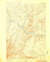
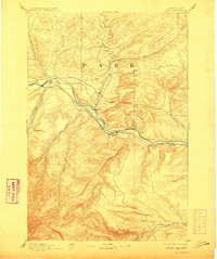
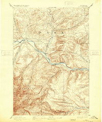
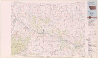
1893 Map of Big Timber
USGS Topo · Published 1900About this map
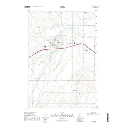
Big Timber serves as the central hub of this 1889 survey, situated where the Boulder River joins the Yellowstone River. The landscape is defined by the early infrastructure of the Northern Pacific Railroad, which mirrors the river’s path through the valley. At a time when bridges were sparse, the Harrison Ferry provided a critical crossing point between Big Timber and Greycliff. The map details a complex network of drainage basins, including Bridger Creek and the Stillwater River to the south, and Sweet Grass Creek to the north. These watercourses and their many named tributaries, such as Jackstone Creek and Countryman Creek, illustrate the topographic challenges faced by early Montana settlers and railroad engineers as they established ranching and transit corridors across this part of the state.
Find a feature on this map
22 named features on this map. Tap any name to fly to it.
Don’t see what you’re looking for? This feature index may not catch every label — zoom into the map to look around manually.
Map Details
Editions of this 1893 Big Timber Map
4 editions found

Historical Maps of Big Timber Through Time
9 maps found

1891 Big Timber
Sweet Grass County, MT
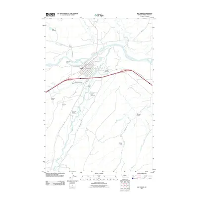
1893 Big Timber
Sweet Grass County, MT
1954 Big Timber
Sweet Grass County, MT
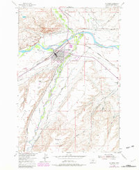
1979 Big Timber
Sweet Grass County, MT
2011 Big Timber
Sweet Grass County, MT
2014 Big Timber
Sweet Grass County, MT
2017 Big Timber
Sweet Grass County, MT
2020 Big Timber
Sweet Grass County, MT
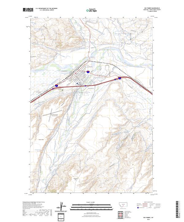
2024 Big Timber
Sweet Grass County, MT