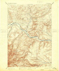
1893 Map of Big Timber
USGS Topo · Published 1931About this map
The Yellowstone River corridor serves as the primary artery of travel and settlement in this late nineteenth-century Montana landscape. Surveyed in 1889, the map illustrates the critical relationship between water and transport, with the Northern Pacific Railroad tracing the northern bank while the Harrison Ferry provides a vital river crossing point south of the developing town of Big Timber. This period was a time of transition, as the presence of the Absaroka National Forest and Beartooth National Forest to the south suggests the early formalization of federal land management in the region. The map tracks numerous family-named and geography-specific waterways like White Beaver Creek, Countryman Creek, and Work Creek, which hint at the early homesteading and ranching patterns that defined the Park county area before the twentieth-century expansion of local municipalities.
Find a feature on this map
21 named features on this map. Tap any name to fly to it.
Don’t see what you’re looking for? This feature index may not catch every label — zoom into the map to look around manually.
Map Details
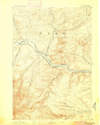
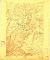
Editions of this 1893 Big Timber Map
4 editions found
Other maps of this area

1886 · Little Belt Mts.
USGS Topo · 1:250,000

1889 · Big Snowy Mountain
USGS Topo · 1:250,000

1891 · Livingston
USGS Topo · 1:250,000

1891 · Big Timber
USGS Topo · 1:125,000

1892 · Stillwater
USGS Topo · 1:125,000

1893 · Livingston
USGS Topo · 1:250,000

1893 · Big Snowy Mountain
USGS Topo · 1:250,000

1893 · Big Timber
USGS Topo · 1:125,000

1894 · Little Belt Mts.
USGS Topo · 1:250,000

1897 · Little Belt Mts.
USGS Topo · 1:250,000