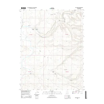
2014 Map of Big Triangle
USGS Topo · Published 2014About this map
The Colorado River carves a winding path through this corner of Grand County, Utah, defining a landscape of deep canyons and churning whitewater. This 2014 survey captures the river's descent through a series of named hazards, including Skull Rapids, Sock-It-To-Me Rapids, Last Chance Rapids, and the aptly named Funnel Falls. Away from the riverbanks, the terrain is marked by prominent landforms such as Big Triangle and Little Triangle, alongside numerous tributary systems like Agate Wash, Cottonwood Wash, and Triangle Canyon.
Find a feature on this map
31 named features on this map. Tap any name to fly to it.
Don’t see what you’re looking for? This feature index may not catch every label — zoom into the map to look around manually.
Map Details
Editions of this 2014 Big Triangle Map
This is the sole edition of this map. No revisions or reprints were ever made.
Other maps of this area

1885 · East Tavaputs
USGS Topo · 1:250,000

1885 · La Sal
USGS Topo · 1:250,000

1954 · Westwater 4 SW
USGS Topo · 1:24,000

1954 · Mt. Waas 1 SW
USGS Topo · 1:24,000

1954 · Mt. Waas 1 NE
USGS Topo · 1:24,000

1954 · Mt. Waas 1 NW
USGS Topo · 1:24,000

1954 · Mt. Waas 1 SE
USGS Topo · 1:24,000

1954 · Coates Creek
USGS Topo · 1:62,500

1955 · Mt. Waas 2 SE
USGS Topo · 1:24,000

1956 · Westwater 4 SE
USGS Topo · 1:24,000