
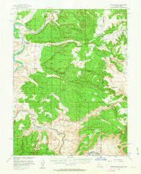
1954 Map of Coates Creek
USGS Topo · Published 1957About this map
Colorado River and Dolores River cut through this high desert plateau along the Utah-Colorado state line, revealing a landscape of massive mesas and deep canyons. The settlement at Utah Bottoms and the Picture Gallery Ranch represent the sparse ranching and agricultural presence in this arid region during the mid-1950s. Surveyors noted several mining activities, indicated by a Tunnel and multiple Prospect markings scattered near Buckhorn Mesa and Scharf Mesa, pointing toward the era's uranium and mineral exploration. Significant landforms like Steamboat Mesa and Sevenmile Mesa dominate the topography, while a lone Landing Strip and Jeep Trail provide the only modern transportation links across the complex network of drainages including Coates Creek and Ryan Creek.
Find a feature on this map
49 named features on this map. Tap any name to fly to it.
Don’t see what you’re looking for? This feature index may not catch every label — zoom into the map to look around manually.
Map Details
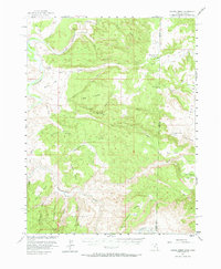
Editions of this 1954 Coates Creek Map
3 editions found
Other maps of this area

1885 · East Tavaputs
USGS Topo · 1:250,000

1885 · La Sal
USGS Topo · 1:250,000

1949 · Gateway
USGS Topo · 1:24,000

1952 · Gateway
USGS Topo · 1:24,000

1954 · Westwater 4 SW
USGS Topo · 1:24,000

1954 · Mt. Waas 4 NE
USGS Topo · 1:24,000

1954 · Mt. Waas 4 NW
USGS Topo · 1:24,000

1954 · Mt. Waas 3 NE
USGS Topo · 1:24,000

1954 · Mt. Waas 1 SW
USGS Topo · 1:24,000

1954 · Mt. Waas 1 NE
USGS Topo · 1:24,000