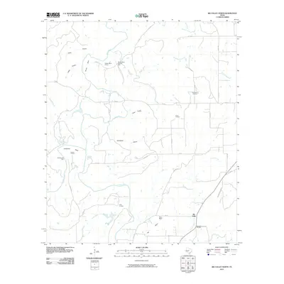
2010 Map of Big Valley North
USGS Topo · Published 2010About this map
The Colorado River and Pecan Bayou define this rural Mills County landscape, winding through a region characterized by deep hollows and named bends. In the southeast corner, the community of Big Valley serves as a local anchor, accompanied by the Big Valley Cemetery. This area is particularly rich in genealogical sites, with several family and community burial grounds including Rock Spring Cemetery, Traylor Cemetery, and Estep Cemetery scattered across the countryside.
Find a feature on this map
48 named features on this map. Tap any name to fly to it.
Don’t see what you’re looking for? This feature index may not catch every label — zoom into the map to look around manually.
Map Details
Editions of this 2010 Big Valley North Map
This is the sole edition of this map. No revisions or reprints were ever made.
Other maps of this area

1885 · San Saba
USGS Topo · 1:125,000

1889 · Brownwood
USGS Topo · 1:125,000

1894 · Brownwood
USGS Topo · 1:125,000

1894 · San Saba
USGS Topo · 1:125,000

1925 · San Saba 2-a
USGS Topo · 1:48,000

1925 · Brownwood 3-d
USGS Topo · 1:48,000

1925 · San Saba 1-c
USGS Topo · 1:48,000

1925 · San Saba 1-b
USGS Topo · 1:48,000

1925 · San Saba 1-d
USGS Topo · 1:48,000

1925 · Brownwood 4-c
USGS Topo · 1:48,000