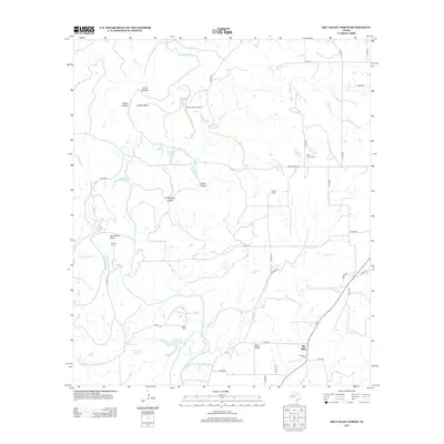
2012 Map of Big Valley North
USGS Topo · Published 2012About this map
The Colorado River defines the southern reach of this Central Texas landscape, where the settlement of Big Valley is situated. This region is characterized by a network of drainage systems, including the prominent Pecan Bayou, Chambers Cr, and Browns Cr, which carve through a series of canyons and hollows. Local family and community history is anchored by several burial grounds, such as Big Valley Cem, Rock Spring Cem, and Traylor Cem, which are distributed along the rural road network. The terrain is marked by distinctive landmarks like Blue Bluff and Horseshoe Bend, reflecting the erosive power of the local waterways over time. Transportation in this part of Mills County relies on a grid of county roads and Ranch Road 574, connecting isolated homesteads and local infrastructure like the Smoky Bend Airport. The presence of numerous named hollows, including Jones Canyon, Gibbs Hollow, and Grindstone Hollow, indicates a deeply dissected topography typical of the Edwards Plateau transition.
Find a feature on this map
48 named features on this map. Tap any name to fly to it.
Don’t see what you’re looking for? This feature index may not catch every label — zoom into the map to look around manually.
Map Details
Editions of this 2012 Big Valley North Map
This is the sole edition of this map. No revisions or reprints were ever made.
Other maps of this area
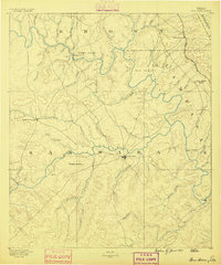
1885 · San Saba
USGS Topo · 1:125,000
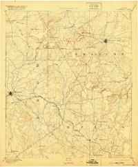
1889 · Brownwood
USGS Topo · 1:125,000
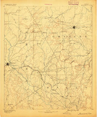
1894 · Brownwood
USGS Topo · 1:125,000
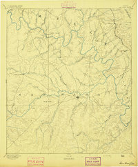
1894 · San Saba
USGS Topo · 1:125,000
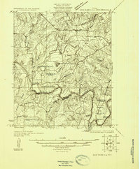
1925 · San Saba 2-a
USGS Topo · 1:48,000
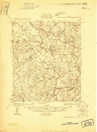
1925 · Brownwood 3-d
USGS Topo · 1:48,000
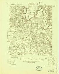
1925 · San Saba 1-c
USGS Topo · 1:48,000
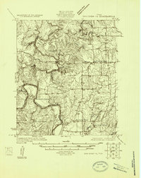
1925 · San Saba 1-b
USGS Topo · 1:48,000
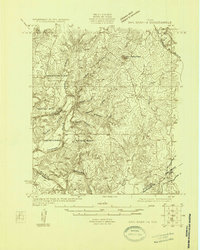
1925 · San Saba 1-d
USGS Topo · 1:48,000
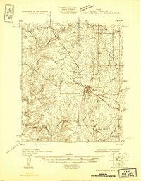
1925 · Brownwood 4-c
USGS Topo · 1:48,000