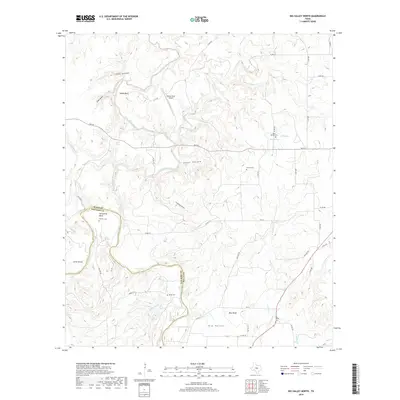
2019 Map of Big Valley North
USGS Topo · Published 2019About this map
The Colorado River carves a winding path along the boundary of Mills and San Saba counties, defining the lower portion of this Central Texas landscape. Near the settlement of Big Valley, the river passes beneath the striking Blue Bluff, while to the west, a sharp oxbow creates the notable Horseshoe Bend. The interior terrain is deeply dissected by numerous drainage systems, including Pecan Bayou and Browns Cr, which weave through named topographic features like Jones Canyon and Cedar Hollow. For those researching family history, the map identifies several distinct burial grounds, such as Rock Spring Cemetery and Traylor Cemetery, reflecting the area's rural heritage. This modern survey shows a landscape of ranch roads and remote holdings, with Smoky Bend Airport providing a small hub of activity amidst the traditional agricultural land patterns of the Jones Valley region.
Find a feature on this map
53 named features on this map. Tap any name to fly to it.
Don’t see what you’re looking for? This feature index may not catch every label — zoom into the map to look around manually.
Map Details
Editions of this 2019 Big Valley North Map
This is the sole edition of this map. No revisions or reprints were ever made.
Other maps of this area

1885 · San Saba
USGS Topo · 1:125,000

1889 · Brownwood
USGS Topo · 1:125,000

1894 · Brownwood
USGS Topo · 1:125,000

1894 · San Saba
USGS Topo · 1:125,000

1925 · San Saba 2-a
USGS Topo · 1:48,000

1925 · Brownwood 3-d
USGS Topo · 1:48,000

1925 · San Saba 1-c
USGS Topo · 1:48,000

1925 · San Saba 1-b
USGS Topo · 1:48,000

1925 · San Saba 1-d
USGS Topo · 1:48,000

1925 · Brownwood 4-c
USGS Topo · 1:48,000