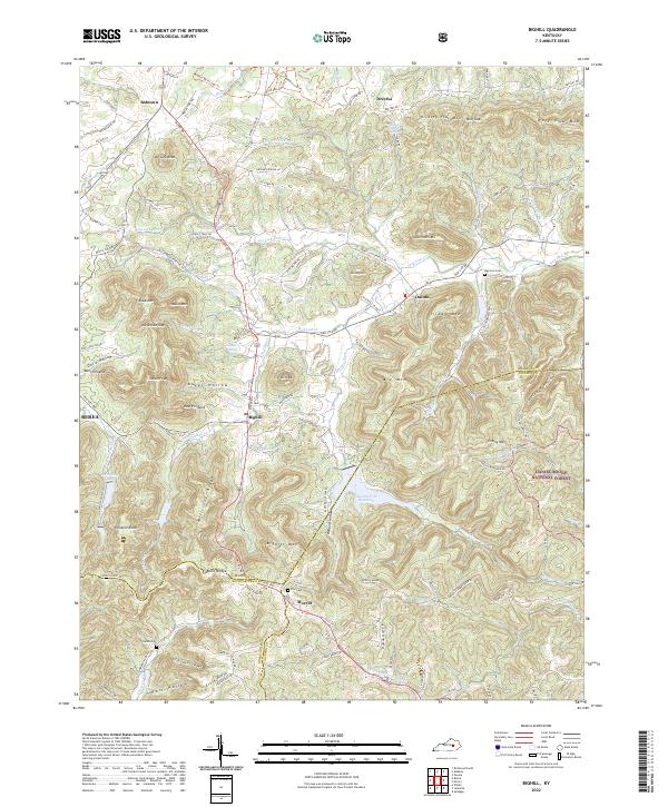
2022 Map of Bighill
USGS Topo · Published 2022About this map
Bighill sits at the base of the dramatic Cumberland Plateau edge, where the knob country of central Kentucky meets the dense timber of the Daniel Boone National Forest. This landscape is defined by its deep hollows and prominent summits, including Indian Ft Mtn, West Pinnacle, and Pinnacle Knob, which overlook the expanding community of Berea. The area's complex drainage network is anchored by Red Lick Cr and the Owsley Fork Reservoir, providing a clear picture of how water resources and topography have dictated local settlement patterns near the Madison and Jackson County lines.
Find a feature on this map
121 named features on this map. Tap any name to fly to it.
Don’t see what you’re looking for? This feature index may not catch every label — zoom into the map to look around manually.
Map Details
Editions of this 2022 Bighill Map
This is the sole edition of this map. No revisions or reprints were ever made.
Historical Maps of Bobtown Through Time
18 maps found
1952 Bighill
Madison County, KY
1952 Kirksville
Madison County, KY
1952 Moberly
Madison County, KY

1952 Richmond North
Madison County, KY
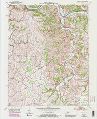
1952 Union City
Madison County, KY
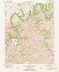
1952 Valley View
Madison County, KY

1953 Richmond South
Madison County, KY
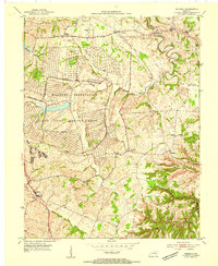
1954 Moberly
Madison County, KY
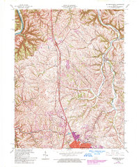
1965 Richmond North
Madison County, KY
1965 Richmond South
Madison County, KY
1997 Richmond South
Madison County, KY
2022 Bighill
Madison County, KY
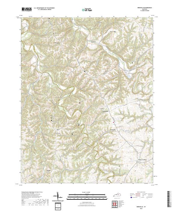
2022 Kirksville
Madison County, KY
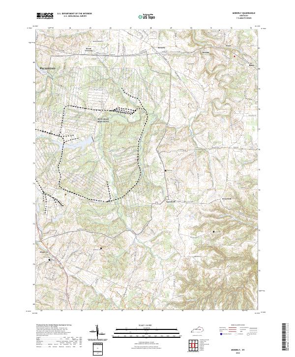
2022 Moberly
Madison County, KY
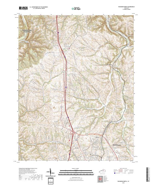
2022 Richmond North
Madison County, KY
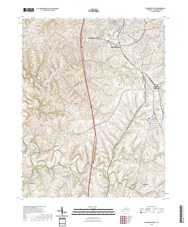
2022 Richmond South
Madison County, KY
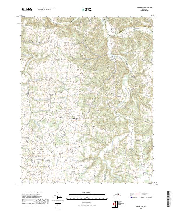
2022 Union City
Madison County, KY
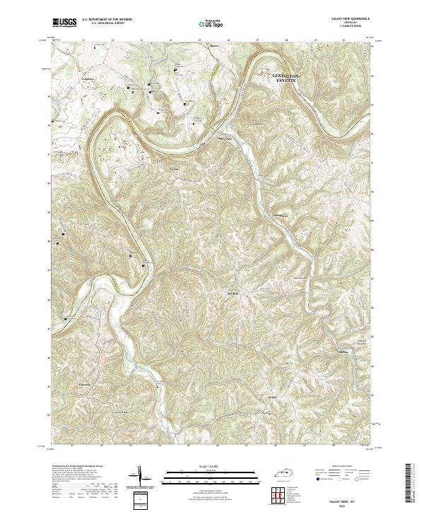
2022 Valley View
Madison County, KY