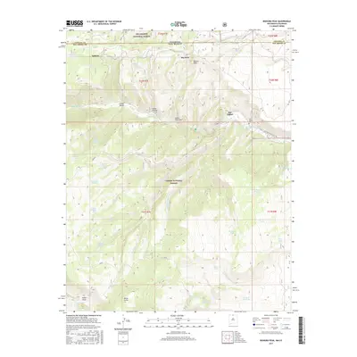
2017 Map of Bighorn Peak
USGS Topo · Published 2017About this map
Bighorn Peak stands as a prominent landmark on this 2017 survey, which straddles the rugged border where Conejos County and New Mexico meet. The high-altitude landscape is defined by deep drainages such as Cañon Florentino and Cañon Hondo, which cut through the Carson National Forest. Small settlements and named locations like San Miguel and Sublette dot the northern reaches, while the San Miguel Cem provides a specific point of interest for genealogists tracing local families.
Find a feature on this map
49 named features on this map. Tap any name to fly to it.
Don’t see what you’re looking for? This feature index may not catch every label — zoom into the map to look around manually.
Map Details
Editions of this 2017 Bighorn Peak Map
This is the sole edition of this map. No revisions or reprints were ever made.
Other maps of this area

1918 · Tusas
USGS Topo · 1:125,000

1922 · Conejos
USGS Topo · 1:125,000

1945 · Durango
USGS Topo · 1:250,000

1953 · Durango
USGS Topo · 1:250,000

1954 · Durango
USGS Topo · 1:250,000

1954 · Aztec
USGS Topo · 1:250,000

1955 · Brazos Peak
USGS Topo · 1:62,500

1958 · Aztec
USGS Topo · 1:250,000

1961 · Durango
USGS Topo · 1:250,000

1962 · Aztec
USGS Topo · 1:250,000