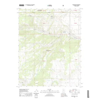
2020 Map of Bighorn Peak
USGS Topo · Published 2020About this map
Bighorn Peak and the high high-altitude terrain of the New Mexico-Colorado border define this landscape, where the Carson National Forest and Rio Grande National Forest meet. Small settlements like Sublette and Big Horn sit near the northern boundary, while San Miguel appears further south along the Rio de los Pinos. The map reveals a high-country network of water management through numerous cattle tanks and springs, including Casas Tank, Ojito Spring, and the curiously named Alive Number Two Tank. Geographically, the area is dissected by deep canyons and washes such as Canon Florentino and Canada de Oso, while the San Miguel Cem serves as a grounded point of local history for genealogists researching families of the Rio Arriba area. Modern access is marked by several Forest Development Roads, including FDR 87, which traverse the high plateaus and ranching lands.
Find a feature on this map
54 named features on this map. Tap any name to fly to it.
Don’t see what you’re looking for? This feature index may not catch every label — zoom into the map to look around manually.
Map Details
Editions of this 2020 Bighorn Peak Map
This is the sole edition of this map. No revisions or reprints were ever made.
Other maps of this area

1918 · Tusas
USGS Topo · 1:125,000

1922 · Conejos
USGS Topo · 1:125,000

1945 · Durango
USGS Topo · 1:250,000

1953 · Durango
USGS Topo · 1:250,000

1954 · Durango
USGS Topo · 1:250,000

1954 · Aztec
USGS Topo · 1:250,000

1955 · Brazos Peak
USGS Topo · 1:62,500

1958 · Aztec
USGS Topo · 1:250,000

1961 · Durango
USGS Topo · 1:250,000

1962 · Aztec
USGS Topo · 1:250,000