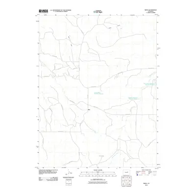
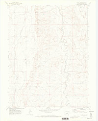
2010 Map of Bijou
USGS Topo · Published 2010About this map
The settlement of Bijou anchors this high plains landscape in Elbert County, where the intricate drainage of Middle Bijou Creek and its various tributaries define the geography. The area's agricultural and water-management needs are reflected in several significant infrastructure projects, most notably the Frank Ehman Detention Reservoir and Shirley Detention Reservoir Number 1. These features, along with Frank Ehman Detention Reservoir Number 2, illustrate a system of water control critical to the semi-arid environment of eastern Colorado.
Find a feature on this map
25 named features on this map. Tap any name to fly to it.
Don’t see what you’re looking for? This feature index may not catch every label — zoom into the map to look around manually.
Map Details
Editions of this 2010 Bijou Map
This is the sole edition of this map. No revisions or reprints were ever made.
Other maps of this area

1953 · Denver
USGS Topo · 1:250,000

1957 · Denver
USGS Topo · 1:250,000

1958 · Denver
USGS Topo · 1:250,000

1960 · Denver
USGS Topo · 1:250,000

1968 · Deer Trail
USGS Topo · 1:24,000
1969 · Strasburg SE
USGS Topo · 1:24,000
1969 · Deer Trail
USGS Topo · 1:24,000
1969 · Byers SW
USGS Topo · 1:24,000
1970 · Kiowa NE
USGS Topo · 1:24,000

1970 · Big Gulch
USGS Topo · 1:24,000