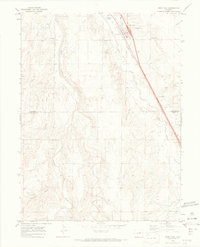
1969 Map of Deer Trail
USGS Topo · Published 1973About this map
Deer Trail serves as the focal point of this Eastern Plains landscape, situated at the intersection of critical transportation corridors just before the 1970s. The Union Pacific railroad and major highways including Interstate 70 and US Highway 40 dictate the town's alignment and growth. A unique local cultural element is visible in the Rodeo Ground on the northern edge of the settlement, hinting at the town's heritage as a historic ranching hub.
Find a feature on this map
22 named features on this map. Tap any name to fly to it.
Don’t see what you’re looking for? This feature index may not catch every label — zoom into the map to look around manually.
Map Details
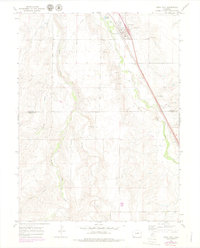
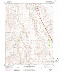
Editions of this 1969 Deer Trail Map
3 editions found
Other maps of this area

1891 · Limon
USGS Topo · 1:125,000

1892 · Limon
USGS Topo · 1:125,000

1953 · Denver
USGS Topo · 1:250,000

1954 · Limon
USGS Topo · 1:250,000

1956 · Peoria
USGS Topo · 1:24,000

1956 · Byers
USGS Topo · 1:24,000

1957 · Denver
USGS Topo · 1:250,000

1957 · Limon
USGS Topo · 1:250,000

1958 · Limon
USGS Topo · 1:250,000

1958 · Denver
USGS Topo · 1:250,000