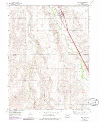
1969 Map of Deer Trail
USGS Topo · Published 1985About this map
Deer Trail serves as the primary hub of this High Plains landscape, situated at the intersection of the Union Pacific railroad and early highway development. The town's local character is evidenced by the Rodeo Ground on its eastern edge and Evergreen Cem tucked against the rail line. The terrain is defined by a series of north-flowing drainages including East Bijou Creek, Middle Bijou Creek, and Wilson Creek, which create a corrugated pattern of ridges and gulches such as Willow Gulch and Station Gulch. As of the late 1960s, the map documents the infrastructure of the era through several pipelines and multiple Gravel Pits scattered across the plains. The southern portion of the sheet captures the boundary between Arapahoe and Elbert counties, illustrating how these administrative lines follow the natural drainage basins of the Colorado prairie.
Find a feature on this map
18 named features on this map. Tap any name to fly to it.
Don’t see what you’re looking for? This feature index may not catch every label — zoom into the map to look around manually.
Map Details
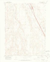
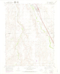
Editions of this 1969 Deer Trail Map
3 editions found
Other maps of this area

1891 · Limon
USGS Topo · 1:125,000

1892 · Limon
USGS Topo · 1:125,000

1953 · Denver
USGS Topo · 1:250,000

1954 · Limon
USGS Topo · 1:250,000

1956 · Peoria
USGS Topo · 1:24,000

1956 · Byers
USGS Topo · 1:24,000

1957 · Denver
USGS Topo · 1:250,000

1957 · Limon
USGS Topo · 1:250,000

1958 · Limon
USGS Topo · 1:250,000

1958 · Denver
USGS Topo · 1:250,000