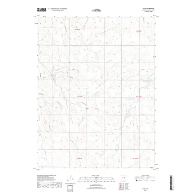
2019 Map of Bijou
USGS Topo · Published 2019About this map
Bijou serves as the focal point for this Elbert County landscape, where the High Plains are defined by a complex network of drainage gulches and intermittent water management. The terrain is deeply inscribed by seasonal waterways including Mule Gulch, Hay Gulch, and Willow Gulch, all contributing to the Middle Bijou Cr basin. A notable concentration of modern residential development appears in the western portion of the quadrangle, evidenced by a cluster of gemstone-themed roads such as Jade Cir, Amethyst Rd, and Sapphire Trl. For genealogists and local historians, the Gair Cem provides a tangible link to earlier settlement eras. The region's agricultural and water-management priorities are clear through features like the Frank Ehman Detention Reservoir and Shirley Detention Reservoir Number 1, which mitigate the area's characteristic drainage patterns.
Find a feature on this map
40 named features on this map. Tap any name to fly to it.
Don’t see what you’re looking for? This feature index may not catch every label — zoom into the map to look around manually.
Map Details
Editions of this 2019 Bijou Map
This is the sole edition of this map. No revisions or reprints were ever made.
Other maps of this area
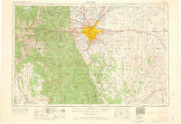
1953 · Denver
USGS Topo · 1:250,000
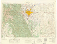
1957 · Denver
USGS Topo · 1:250,000
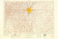
1958 · Denver
USGS Topo · 1:250,000
1960 · Denver
USGS Topo · 1:250,000
1968 · Deer Trail
USGS Topo · 1:24,000
1969 · Strasburg SE
USGS Topo · 1:24,000
1969 · Deer Trail
USGS Topo · 1:24,000
1969 · Byers SW
USGS Topo · 1:24,000
1970 · Kiowa NE
USGS Topo · 1:24,000
1970 · Big Gulch
USGS Topo · 1:24,000