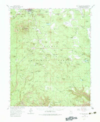
1962 Map of Bill Williams Mtn
USGS Topo · Published 1983About this map
The town of Williams serves as the focal point for this high-altitude landscape, situated along the Atchison Topeka and Santa Fe railroad line. Dominated by the volcanic mass of Bill Williams Mountain, the area exhibits a transition from the structured town grid with its High School and local Cemeteries to a wilderness defined by water management and resource extraction. Reservoirs such as Dogtown Reservoir, White Horse Lake, and JD Dam Lake illustrate the critical role of water storage in this arid environment.
Find a feature on this map
68 named features on this map. Tap any name to fly to it.
Don’t see what you’re looking for? This feature index may not catch every label — zoom into the map to look around manually.
Map Details
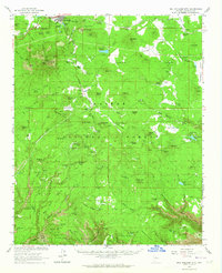
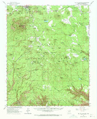
Editions of this 1962 Bill Williams Mtn Map
3 editions found
Other maps of this area

1886 · San Francisco Mtns
USGS Topo · 1:250,000

1886 · Chino
USGS Topo · 1:250,000

1887 · Verde
USGS Topo · 1:250,000

1887 · Prescott
USGS Topo · 1:250,000

1891 · San Francisco Mtns
USGS Topo · 1:250,000

1891 · Chino
USGS Topo · 1:250,000

1892 · Verde
USGS Topo · 1:250,000

1892 · Prescott
USGS Topo · 1:250,000

1894 · San Francisco Mtns
USGS Topo · 1:250,000

1899 · San Francisco Mtns
USGS Topo · 1:250,000