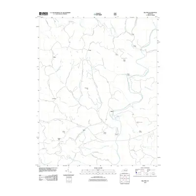
2010 Map of Billows
USGS Topo · Published 2010About this map
The Rockcastle River winds through this section of eastern Pulaski County, shaping a landscape defined by deep hollows and narrow ridges. Small, scattered communities like Billows and Squib are connected by a network of winding roads, such as Old London Rd and Squib And Rd. For those researching local families, the map identifies several burial sites, including Bustle Cemetery near the river and Whitaker Cemetery further west.
Find a feature on this map
61 named features on this map. Tap any name to fly to it.
Don’t see what you’re looking for? This feature index may not catch every label — zoom into the map to look around manually.
Map Details
Editions of this 2010 Billows Map
This is the sole edition of this map. No revisions or reprints were ever made.
Other maps of this area

1893 · London
USGS Topo · 1:125,000

1897 · London
USGS Topo · 1:125,000

1952 · London SW
USGS Topo · 1:24,000

1952 · Billows
USGS Topo · 1:24,000

1952 · Ano
USGS Topo · 1:24,000

1952 · Dykes
USGS Topo · 1:24,000

1952 · Shopville
USGS Topo · 1:24,000

1952 · Bernstadt
USGS Topo · 1:24,000

1953 · Maretburg
USGS Topo · 1:24,000

1953 · Livingston
USGS Topo · 1:24,000