
1952 Map of Ano
USGS Topo · Published 1954About this map
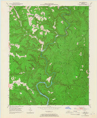
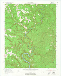
The Rockcastle River snakes through the heart of the Cumberland National Forest in this early 1950s survey, carving dramatic horseshoe bends at The Loop and The Bend. The terrain is defined by a series of prominent high points including Bolthouse Ridge, Stepping Rock Ridge, and Hindsfield Ridge. Evidence of the region's extractive economy appears in the northwest corner, where Strip Mines are mapped near the small settlement of Ano. Cultural life in these hollows centers on local institutions like Clifty Grove Ch and Mt Victory Ch, along with the Hindsfield Sch. Small family-named landmarks such as Chaney Cem and Garson Cem provide valuable touchpoints for genealogists researching the residents of these isolated ridges before further modernization reached the border of Laurel and Pulaski Counties.
Find a feature on this map
93 named features on this map. Tap any name to fly to it.
Don’t see what you’re looking for? This feature index may not catch every label — zoom into the map to look around manually.
Map Details
Editions of this 1952 Ano Map
3 editions found
Other maps of this area

1890 · Williamsburg
USGS Topo · 1:125,000

1893 · London
USGS Topo · 1:125,000

1894 · Williamsburg
USGS Topo · 1:125,000

1897 · London
USGS Topo · 1:125,000

1952 · Hail
USGS Topo · 1:24,000

1952 · London SW
USGS Topo · 1:24,000

1952 · Vox
USGS Topo · 1:24,000

1952 · Billows
USGS Topo · 1:24,000

1952 · Dykes
USGS Topo · 1:24,000

1952 · Shopville
USGS Topo · 1:24,000