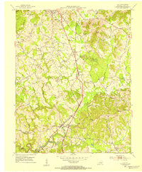
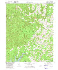
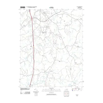
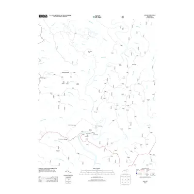
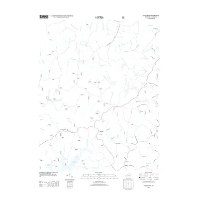
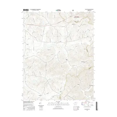
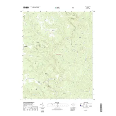
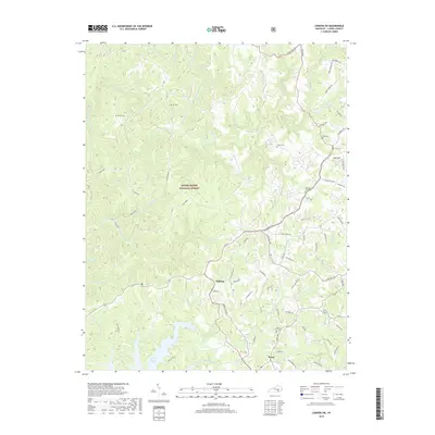
1952 Map of Ano
USGS Topo · Published 1974About this map
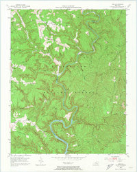
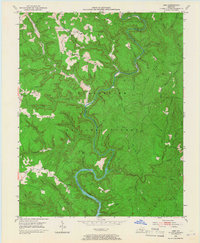
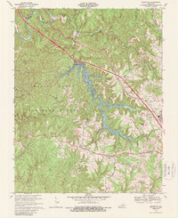
The Rockcastle River snakes through the deep topography of Laurel and Pulaski Counties, defining the heart of the Cumberland National Forest in the early 1950s. The settlement of Ano sits on the northern edge of the map, while Mt Victory and Goodwater occupy the western heights above the river's winding course. This era shows a landscape where traditional Appalachian rural life met emerging industrial footprints, evidenced by the presence of Strip Mines in the north near Clifty Grove Ch. Local family history is preserved through scattered burial sites like the Chaney Cem and Garson Cem, while the Hindsfield Sch on Hindsfield Ridge served the upland communities. The map highlights the isolation and physical challenges of the terrain, where roads like KY 80 follow the high ground to avoid the numerous branches such as Buck Lick Br and Stillhouse Br that feed into the main river valley.
Find a feature on this map
93 named features on this map. Tap any name to fly to it.
Don’t see what you’re looking for? This feature index may not catch every label — zoom into the map to look around manually.
Map Details
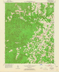
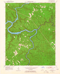
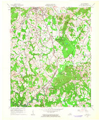
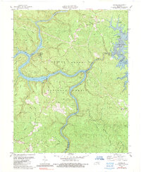
Editions of this 1952 Ano Map
3 editions found

Historical Maps of Ano Through Time
43 maps found
1952 Ano
Laurel County, KY
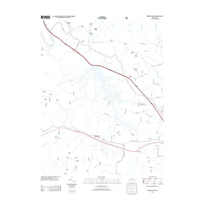
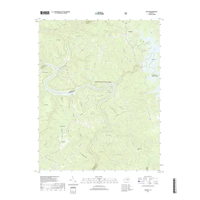
1952 Bernstadt
Laurel County, KY
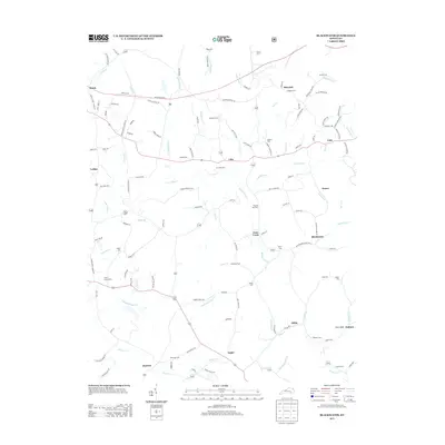
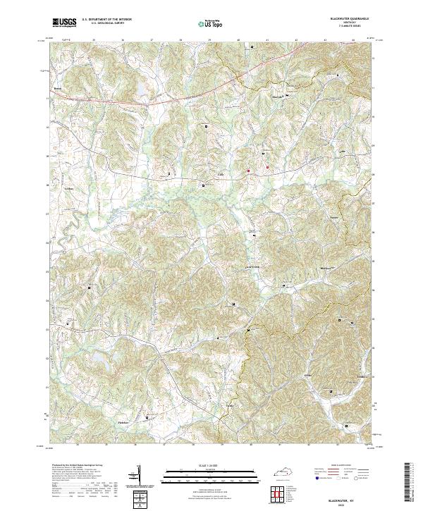
1952 Blackwater
Laurel County, KY
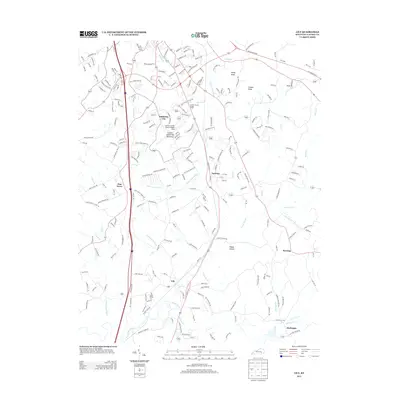
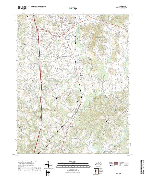
1952 Lily
Laurel County, KY
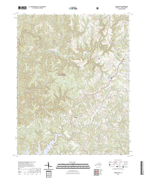
1952 London SW
Laurel County, KY
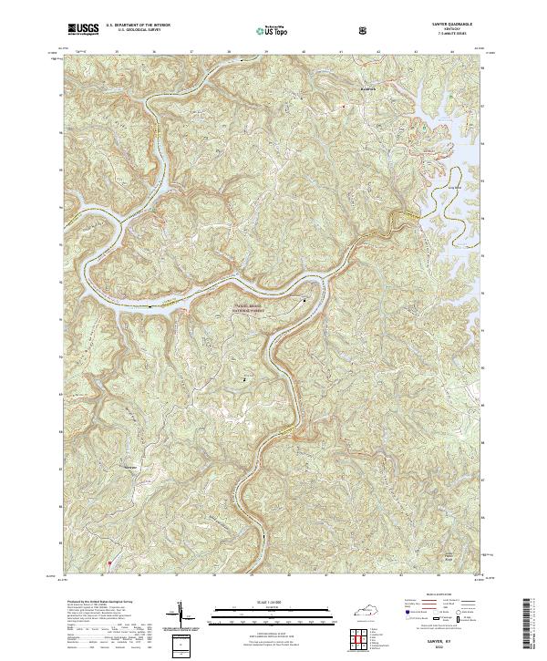
1952 Sawyer
Laurel County, KY
1961 Lily
Laurel County, KY
1969 Bernstadt
Laurel County, KY
1970 Lily
Laurel County, KY
1979 Ano
Laurel County, KY
1979 Blackwater
Laurel County, KY
1979 London SW
Laurel County, KY
1980 Sawyer
Laurel County, KY
2010 Ano
Laurel County, KY
2010 Bernstadt
Laurel County, KY
2010 Lily
Laurel County, KY
2010 London SW
Laurel County, KY
2010 Sawyer
Laurel County, KY
2011 Blackwater
Laurel County, KY
2013 Ano
Laurel County, KY
2013 Bernstadt
Laurel County, KY
2013 Blackwater
Laurel County, KY
2013 Lily
Laurel County, KY
2013 London SW
Laurel County, KY
2013 Sawyer
Laurel County, KY
2016 Ano
Laurel County, KY
2016 Bernstadt
Laurel County, KY
2016 Blackwater
Laurel County, KY
2016 Lily
Laurel County, KY
2016 London SW
Laurel County, KY
2016 Sawyer
Laurel County, KY
2019 Ano
Laurel County, KY
2019 Bernstadt
Laurel County, KY
2019 Blackwater
Laurel County, KY
2019 Lily
Laurel County, KY
2019 London SW
Laurel County, KY
2019 Sawyer
Laurel County, KY
2022 Ano
Laurel County, KY
2022 Bernstadt
Laurel County, KY
2022 Blackwater
Laurel County, KY
2022 Lily
Laurel County, KY
2022 London SW
Laurel County, KY
2022 Sawyer
Laurel County, KY