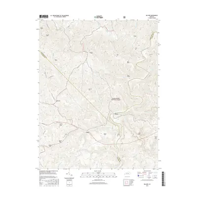
2016 Map of Billows
USGS Topo · Published 2016About this map
Rockcastle River flows through this corner of Kentucky, carving a complex landscape across the borders of Pulaski, Laurel, and Rockcastle counties. The terrain is characterized by deep hollows and prominent ridges like Kincade Ridge and Cromer Ridge, much of which is preserved within the Daniel Boone National Forest. Small settlements and naming conventions reflect a long history of local habitation, with clusters of activity found at Squib, Billows, and Pongo.
Find a feature on this map
63 named features on this map. Tap any name to fly to it.
Don’t see what you’re looking for? This feature index may not catch every label — zoom into the map to look around manually.
Map Details
Editions of this 2016 Billows Map
This is the sole edition of this map. No revisions or reprints were ever made.
Other maps of this area

1893 · London
USGS Topo · 1:125,000

1897 · London
USGS Topo · 1:125,000

1952 · London SW
USGS Topo · 1:24,000

1952 · Billows
USGS Topo · 1:24,000

1952 · Ano
USGS Topo · 1:24,000

1952 · Dykes
USGS Topo · 1:24,000

1952 · Shopville
USGS Topo · 1:24,000

1952 · Bernstadt
USGS Topo · 1:24,000

1953 · Maretburg
USGS Topo · 1:24,000

1953 · Livingston
USGS Topo · 1:24,000