
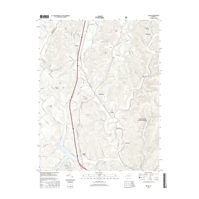
2022 Map of Billows
USGS Topo · Published 2022About this map
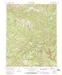
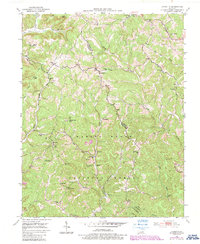
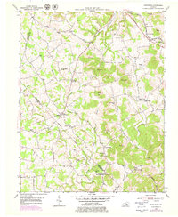
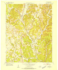
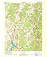
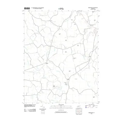
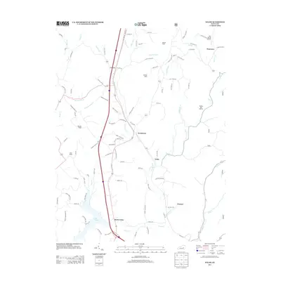
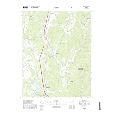
The Rockcastle River snakes through the center of this terrain, carving deep valleys and defining the border between Rockcastle, Laurel, and Pulaski counties. Much of this area is encompassed by the Daniel Boone National Forest, where the landscape is characterized by prominent ridges and narrow hollows. Settlements like Billows and Squib are concentrated along the river and the path of State Hwy 1956, while smaller communities such as Pongo, Luner, and Bloss occupy the higher ground to the north. For those researching local history, the map shows familial landmarks like the Bustle and Whitaker cemeteries, as well as the Phelps Gem site. The complex network of waterways, including Line Cr and Lacy Fork, alongside trails like the Rockcastle River Trl, illustrates how the topography has historically shaped movement and settlement patterns in this part of Kentucky.
Find a feature on this map
68 named features on this map. Tap any name to fly to it.
Don’t see what you’re looking for? This feature index may not catch every label — zoom into the map to look around manually.
Map Details
Editions of this 2022 Billows Map
This is the sole edition of this map. No revisions or reprints were ever made.
Historical Maps of Bloss Through Time
26 maps found
1952 Billows
Rockcastle County, KY
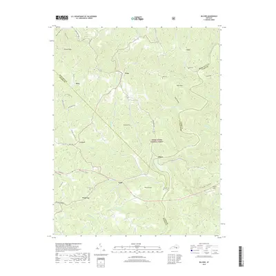
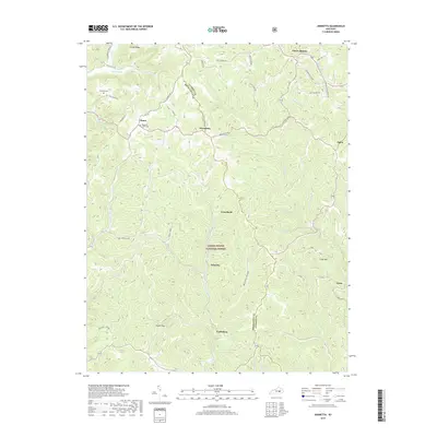
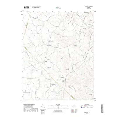
1953 Johnetta
Rockcastle County, KY
1953 Maretburg
Rockcastle County, KY
1953 Wildie
Rockcastle County, KY
1970 Wildie
Rockcastle County, KY
1993 Maretburg
Rockcastle County, KY
2010 Billows
Rockcastle County, KY
2010 Johnetta
Rockcastle County, KY
2010 Maretburg
Rockcastle County, KY
2010 Wildie
Rockcastle County, KY

2013 Billows
Rockcastle County, KY
2013 Johnetta
Rockcastle County, KY
2013 Maretburg
Rockcastle County, KY
2013 Wildie
Rockcastle County, KY
2016 Billows
Rockcastle County, KY
2016 Johnetta
Rockcastle County, KY
2016 Maretburg
Rockcastle County, KY
2016 Wildie
Rockcastle County, KY
2019 Billows
Rockcastle County, KY
2019 Johnetta
Rockcastle County, KY
2019 Maretburg
Rockcastle County, KY
2019 Wildie
Rockcastle County, KY
2022 Billows
Rockcastle County, KY
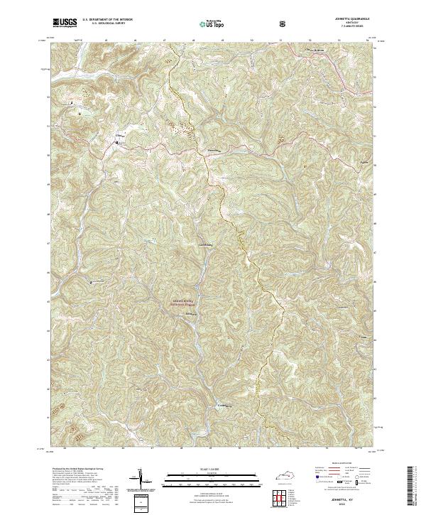
2022 Johnetta
Rockcastle County, KY
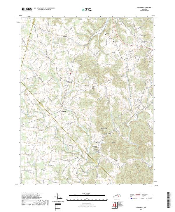
2022 Maretburg
Rockcastle County, KY
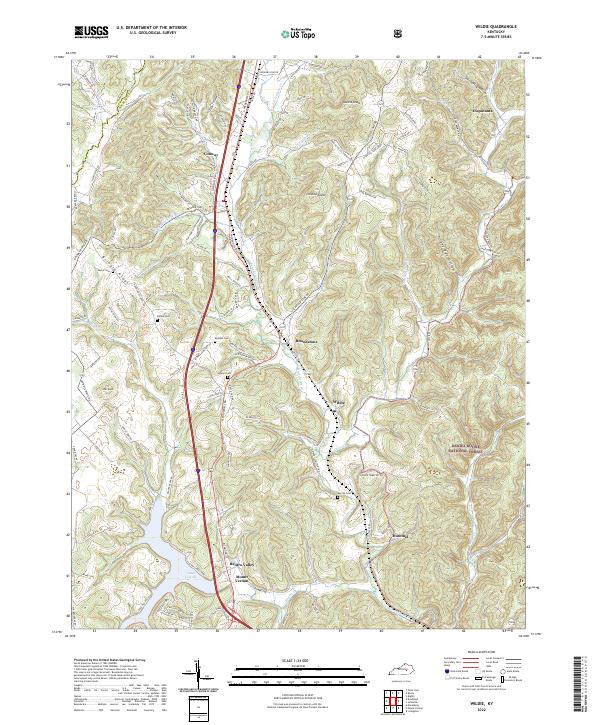
2022 Wildie
Rockcastle County, KY