
1981 Map of Bills Creek
USGS Topo · Published 1981About this map
Jireh Cemetery stands as a quiet focal point in this 1980s landscape, situated along Jireh Road in the high plains of eastern Wyoming. The terrain is defined by the Horseshoe Hills and prominent elevations like Shelton Peak and the Pinnacle, which overlook a network of seasonal watercourses including Lance Creek, Middle Creek, and Bills Creek. This survey captures the region during a period of established ranching and transit, evidenced by the presence of a Flowing Well and numerous Springs essential for livestock in this semi-arid environment.
Find a feature on this map
19 named features on this map. Tap any name to fly to it.
Don’t see what you’re looking for? This feature index may not catch every label — zoom into the map to look around manually.
Map Details
Editions of this 1981 Bills Creek Map
This is the sole edition of this map. No revisions or reprints were ever made.
Other maps of this area

1950 · Prairie View School
USGS Topo · 1:24,000

1954 · Torrington
USGS Topo · 1:250,000

1958 · Torrington
USGS Topo · 1:250,000

1970 · Cooley Draw
USGS Topo · 1:24,000

1970 · Keeline
USGS Topo · 1:24,000

1974 · Lone Tree Hill
USGS Topo · 1:24,000

1974 · Silver Springs
USGS Topo · 1:24,000

1981 · Manville
USGS Topo · 1:24,000
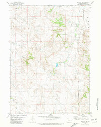
1981 · Manville NE
USGS Topo · 1:24,000
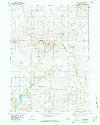
1981 · Flat Top
USGS Topo · 1:24,000