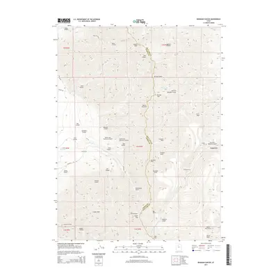
2014 Map of Bingham Canyon
USGS Topo · Published 2014About this map
The Oquirrh Mountains form a dramatic backdrop for the industrial and mining heritage of Salt Lake County, dominated by the winding terrain of Bingham Canyon. This 2014 survey documents the landscape surrounding the company town of Copperton, a community established to support one of the world's largest open-pit operations. The map highlights numerous geographic features such as Nelson Peak and Clipper Peak, alongside infrastructure like the Utah Metal Company Tunnel and the Anaconda Reservoir, which speak to the area's intensive extractive history.
Find a feature on this map
52 named features on this map. Tap any name to fly to it.
Don’t see what you’re looking for? This feature index may not catch every label — zoom into the map to look around manually.
Map Details
Editions of this 2014 Bingham Canyon Map
This is the sole edition of this map. No revisions or reprints were ever made.
Other maps of this area
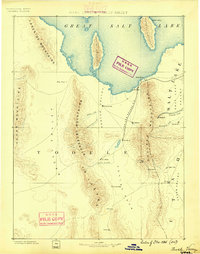
1885 · Tooele Valley
USGS Topo · 1:250,000
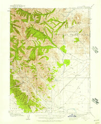
1915 · Fairfield
USGS Topo · 1:62,500
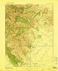
1917 · Fairfield
USGS Topo · 1:62,500
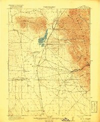
1918 · Stockton
USGS Topo · 1:62,500
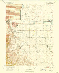
1952 · Magna
USGS Topo · 1:24,000
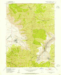
1952 · Bingham Canyon
USGS Topo · 1:24,000
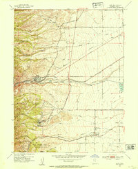
1952 · Lark
USGS Topo · 1:24,000
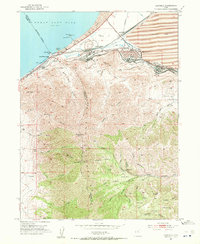
1952 · Garfield
USGS Topo · 1:24,000

1953 · Tooele
USGS Topo · 1:250,000
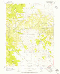
1954 · Tickville Spring
USGS Topo · 1:24,000