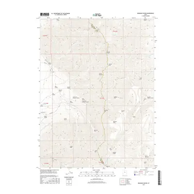
2017 Map of Bingham Canyon
USGS Topo · Published 2017About this map
Nelson Peak and the high ridgelines of the Oquirrh Mountains define this section of the range along the Salt Lake Co Tooele Co border. The map documents a landscape of dramatic vertical relief, where numerous canyons like Bates Canyon and Barneys Canyon drain toward the valley floors. Industrial footprints are visible through the namesake Bingham Canyon and infrastructure like the Anaconda Hwy, which leads toward the Anaconda Reservoir. For local historians and genealogists, the Chandler Cem stands as a significant landmark near the mouth of Dry Fork Bingham Canyon. The network of ridgeline roads, including Pole Line Rd and Middle Canyon Rd, illustrates the modern accessibility of these peaks, while named water sources such as Crystal Spring and Barneys Cr mark the rare hydrological features of this high-desert terrain.
Find a feature on this map
48 named features on this map. Tap any name to fly to it.
Don’t see what you’re looking for? This feature index may not catch every label — zoom into the map to look around manually.
Map Details
Editions of this 2017 Bingham Canyon Map
This is the sole edition of this map. No revisions or reprints were ever made.
Other maps of this area
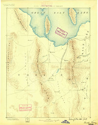
1885 · Tooele Valley
USGS Topo · 1:250,000
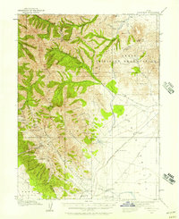
1915 · Fairfield
USGS Topo · 1:62,500
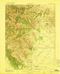
1917 · Fairfield
USGS Topo · 1:62,500
1918 · Stockton
USGS Topo · 1:62,500
1952 · Magna
USGS Topo · 1:24,000
1952 · Bingham Canyon
USGS Topo · 1:24,000
1952 · Lark
USGS Topo · 1:24,000
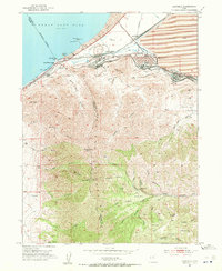
1952 · Garfield
USGS Topo · 1:24,000

1953 · Tooele
USGS Topo · 1:250,000
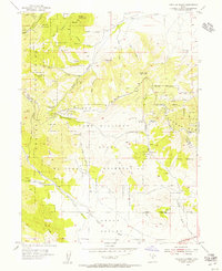
1954 · Tickville Spring
USGS Topo · 1:24,000