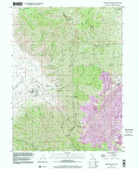
1997 Map of Bingham Canyon
USGS Topo · Published 2002About this map
The Oquirrh Mountains dominate this survey, revealing the massive industrial footprint of the Copper Pit Mine on the eastern slopes. This era shows the dramatic contrast between the high peaks, such as Nelson Peak and Clipper Peak, and the heavy engineering required to extract minerals from the range. Industrial infrastructure is prominent throughout the canyons, including the Bingham West Dip Tunnel, the Apex Shaft, and a Sme Ter facility near the settlement of International. The map documents a transition in mountain transport, showing both an active Tramway and a Tramway (Abandoned) winding through the steep terrain of Pine Canyon and Dry Canyon. Along the western foothills, the landscape opens into the Tooele Valley, where the drainage patterns of Bates Canyon and Swensons Creek provide a sharp geological counterpoint to the open-pit mining operations nearby.
Find a feature on this map
47 named features on this map. Tap any name to fly to it.
Don’t see what you’re looking for? This feature index may not catch every label — zoom into the map to look around manually.
Map Details
Editions of this 1997 Bingham Canyon Map
This is the sole edition of this map. No revisions or reprints were ever made.
Other maps of this area

1885 · Tooele Valley
USGS Topo · 1:250,000

1915 · Fairfield
USGS Topo · 1:62,500

1917 · Fairfield
USGS Topo · 1:62,500

1918 · Stockton
USGS Topo · 1:62,500

1952 · Magna
USGS Topo · 1:24,000

1952 · Bingham Canyon
USGS Topo · 1:24,000
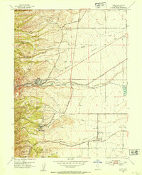
1952 · Lark
USGS Topo · 1:24,000

1952 · Garfield
USGS Topo · 1:24,000

1953 · Tooele
USGS Topo · 1:250,000
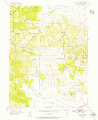
1954 · Tickville Spring
USGS Topo · 1:24,000